Alțâna geodata
Alțâna (Sibiu) is a seat of a second-order administrative division; located in Romania in Europe/Bucharest (GMT+3) time zone. With population of 1,094 people, there are 4005 cities with bigger population in this country. Compared to other cities in Romania, 53.6% of cities are located further ↓South; 60.7% of cities are located further →East and 82.4% of cities have lower elevation than Alțâna. Note1


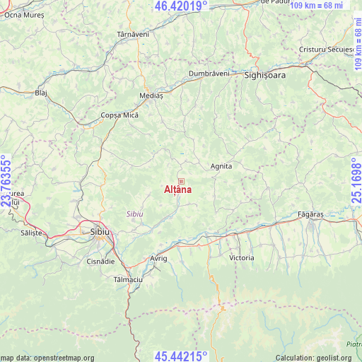
Alțâna GPS coordinates[2]
45° 55' 59.988" North, 24° 28' 0.012" East
| Map corner | latitude | longitude |
|---|---|---|
| Upper-left | 46.42019°, | 23.76355° |
| Center: | 45.93333°, | 24.46667° |
| Lower-right: | 45.44215°, | 25.1698° |
| Map W x H: | 108.7×108.7 km | = 67.5×67.5mi |
| max Lat: | 48.23793° ⇑46.4% North |
| Alțâna: | 45.93333° |
| min Lat: | ⇓53.6% South 43.65638° |
| min Long | Alțâna | max Long |
| 20.31667° | 24.46667° | 29.65403° |
| W 39.3%⇐ | ⇒60.7% E |
Elevation
Elevation of Alțâna is 417 m = 1368 ft, and this is 162.1 m = 532 ft above average elevation for this country.
| Max E: |
1278 m = 4193 ft | 17.6% |
| Alțâna | 417 m 1368 ft | |
| Avg. | 254.9 m = 836 ft | |
Min E: |
-2 m = -7 ft | 82.4% |
See also: Romania elevation on elevation.city.
Geographical zone
Alțâna is located in North temperate zone (between Tropic of Cancer and the Arctic Circle). Distance of this North polar circle is 2293.9 km =1425.4 mi to North.| Distance of | km | miles | from Alțâna |
|---|---|---|---|
| North Pole | 4899.8 | 3044.6 | to North |
| Arctic Circle | 2293.9 | 1425.4 | to North |
| Tropic Cancer | 2501.4 | 1554.3 | to South |
| Equator | 5107.3 | 3173.5 | to South |


Nearby cities:
15 places around Alțâna: (largest is in red/bold)
• Agnita
12.2 km =7.6 mi,  72°
72°
• Buia
15.4 km =9.6 mi,  286°
286°
• Bârghiş
7.6 km =4.7 mi,  42°
42°
• Chirpăr
11 km =6.8 mi,  109°
109°
• Coveș
9.7 km =6 mi,  57°
57°
• Hosman
11.6 km =7.2 mi,  194°
194°
• Marpod
7.8 km =4.8 mi,  160°
160°
• Mihăileni
10.6 km =6.6 mi,  301°
301°
• Moşna
17.5 km =10.9 mi,  342°
342°
• Nemșa
17.1 km =10.6 mi,  354°
354°
• Nocrich
3.9 km =2.4 mi,  199°
199°
• Nou
18 km =11.2 mi,  231°
231°
• Roşia
17.4 km =10.8 mi,  221°
221°
• Ruja
16.7 km =10.4 mi, 58°
• Vurpăr
9.8 km =6.1 mi,  247°
247°
Sources, notices
• [Note1] Compared only with cities in Romania existing in our database
• [Src1] Map data: © OpenStreetMap contributors (CC-BY-SA)
• [Src2] Other city data from geonames.org with taken over terms of usage.
• [Src3] Geographical zone / Annual Mean Temperature by Robert A. Rohde @ Wikipedia
