Khatanga geodata
Khatanga (Krasnoyarskiy) is a populated place; located in Russia in Asia/Krasnoyarsk (GMT+7) time zone. With population of 3,205 people, there are 3607 cities with bigger population in this country. Compared to other cities in Russia, 100% of cities are located further ↓South; 88.7% of cities are located further ←West and 86.3% of cities have higher elevation than Khatanga. Note1


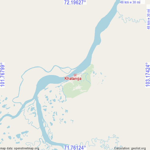
Khatanga GPS coordinates[2]
71° 58' 48.072" North, 102° 28' 15.996" East
| Map corner | latitude | longitude |
|---|---|---|
| Upper-left | 72.19627°, | 101.76799° |
| Center: | 71.98002°, | 102.47111° |
| Lower-right: | 71.76124°, | 103.17424° |
| Map W x H: | 48.4×48.4 km | = 30.1×30.1mi |
| max Lat: | 73.50819° ⇑0% North |
| Khatanga: | 71.98002° |
| min Lat: | ⇓100% South 41.28413° |
| min Long | Khatanga | max Long |
| -179.12198° | 102.47111° | 179.35046° |
| W 88.7%⇐ | ⇒11.3% E |
Elevation
Elevation of Khatanga is 42 m = 138 ft, and this is 160.6 m = 527 ft below average elevation for this country.
| Max E: |
2518 m = 8261 ft | 86.3% |
| Avg. | 202.6 m = 665 ft | |
| Khatanga | 42 m = 138 ft | |
Min E: |
-28 m = -92 ft | 13.7% |
See also: Russia elevation on elevation.city.
Geographical zone
Khatanga is located in North Frigid zone (between North Pole and Arctic Circle). Distance of this North polar circle is 602.3 km =374.3 mi to South.| Distance of | km | miles | from Khatanga |
|---|---|---|---|
| North Pole | 2003.6 | 1245 | to North |
| Arctic Circle | 602.3 | 374.3 | to South |
| Tropic Cancer | 5397.5 | 3353.8 | to South |
| Equator | 8003.4 | 4973.1 | to South |


Nearby cities:
15 places around Khatanga: (largest is in red/bold)
• Aykhal
760.7 km =472.7 mi,  152°
152°
• Dikson
738.8 km =459.1 mi,  283°
283°
• Dudinka
661.1 km =410.8 mi,  244°
244°
• Igarka
787 km =489 mi,  230°
230°
• Karaul
724.7 km =450.3 mi,  253°
253°
• Kayyerkan
611.9 km =380.2 mi, 241°
• Norilsk
598.9 km =372.1 mi, 240°
• Olenyok
537.2 km =333.8 mi,  135°
135°
• Saskylakh
399.3 km =248.1 mi,  90°
90°
• Snezhnogorsk
703.7 km =437.3 mi, 232°
• Svetlogorsk
782.3 km =486.1 mi,  224°
224°
• Talnakh
584.1 km =362.9 mi, 241°
• Tura
861.3 km =535.2 mi,  186°
186°
• Turukhansk
895.9 km =556.7 mi, 220°
• Udachny
729.1 km =453 mi, 147°
Sources, notices
• [Note1] Compared only with cities in Russia existing in our database
• [Src1] Map data: © OpenStreetMap contributors (CC-BY-SA)
• [Src2] Other city data from geonames.org with taken over terms of usage.
• [Src3] Geographical zone / Annual Mean Temperature by Robert A. Rohde @ Wikipedia
