Deputatsky geodata
Deputatsky (Sakha) is a populated place; located in Russia in Asia/Vladivostok (GMT+10) time zone. With population of 3,484 people, there are 3412 cities with bigger population in this country. Compared to other cities in Russia, 99.6% of cities are located further ↓South; 97.7% of cities are located further ←West and 88.5% of cities have lower elevation than Deputatsky. Note1


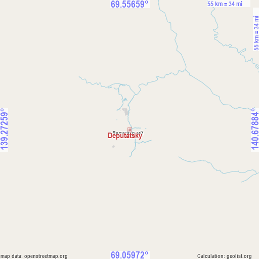
Deputatsky GPS coordinates[2]
69° 18' 34.488" North, 139° 58' 32.556" East
| Map corner | latitude | longitude |
|---|---|---|
| Upper-left | 69.55659°, | 139.27259° |
| Center: | 69.30958°, | 139.97571° |
| Lower-right: | 69.05972°, | 140.67884° |
| Map W x H: | 55.2×55.2 km | = 34.3×34.3mi |
| max Lat: | 73.50819° ⇑0.4% North |
| Deputatsky: | 69.30958° |
| min Lat: | ⇓99.6% South 41.28413° |
| min Long | Deputatsky | max Long |
| -179.12198° | 139.97571° | 179.35046° |
| W 97.7%⇐ | ⇒2.3% E |
Elevation
Elevation of Deputatsky is 409 m = 1342 ft, and this is 206.4 m = 677 ft above average elevation for this country.
| Max E: |
2518 m = 8261 ft | 11.5% |
| Deputatsky | 409 m 1342 ft | |
| Avg. | 202.6 m = 665 ft | |
Min E: |
-28 m = -92 ft | 88.5% |
See also: Russia elevation on elevation.city.
Geographical zone
Deputatsky is located in North Frigid zone (between North Pole and Arctic Circle). Distance of this North polar circle is 305.3 km =189.7 mi to South.| Distance of | km | miles | from Deputatsky |
|---|---|---|---|
| North Pole | 2300.6 | 1429.5 | to North |
| Arctic Circle | 305.3 | 189.7 | to South |
| Tropic Cancer | 5100.6 | 3169.4 | to South |
| Equator | 7706.5 | 4788.6 | to South |


Nearby cities:
15 places around Deputatsky: (largest is in red/bold)
• Artyk
613 km =380.9 mi,  158°
158°
• Batagay
284.7 km =176.9 mi,  229°
229°
• Batagay-Alyta
423.4 km =263.1 mi,  246°
246°
• Belaya Gora
262.6 km =163.2 mi,  109°
109°
• Chokurdakh
334.7 km =208 mi,  64°
64°
• Nezhdaninskoe
757.7 km =470.8 mi,  183°
183°
• Nizhneyansk
276.8 km =172 mi,  328°
328°
• Oymyakon
662 km =411.3 mi,  169°
169°
• Srednekolymsk
597.3 km =371.1 mi, 110°
• Tiksi
488.9 km =303.8 mi,  302°
302°
• Ust-Kuyga
187.6 km =116.6 mi,  294°
294°
• Ust-Nera
545.6 km =339 mi, 164°
• Verkhoyansk
332.3 km =206.5 mi, 234°
• Zhigansk
743.1 km =461.7 mi, 247°
• Zyryanka
609.6 km =378.8 mi,  130°
130°
Sources, notices
• [Note1] Compared only with cities in Russia existing in our database
• [Src1] Map data: © OpenStreetMap contributors (CC-BY-SA)
• [Src2] Other city data from geonames.org with taken over terms of usage.
• [Src3] Geographical zone / Annual Mean Temperature by Robert A. Rohde @ Wikipedia
