Mil’kovo geodata
Mil’kovo (Kamchatka) is a populated place; located in Russia in Asia/Kamchatka (GMT+12) time zone. With population of 8,251 people, there are 1760 cities with bigger population in this country. Compared to other cities in Russia, 50.3% of cities are located further ↓South; 99.6% of cities are located further ←West and 53.9% of cities have lower elevation than Mil’kovo. Note1


Mil’kovo GPS coordinates[2]
54° 41' 45.96" North, 158° 37' 14.412" East
| Map corner | latitude | longitude |
|---|---|---|
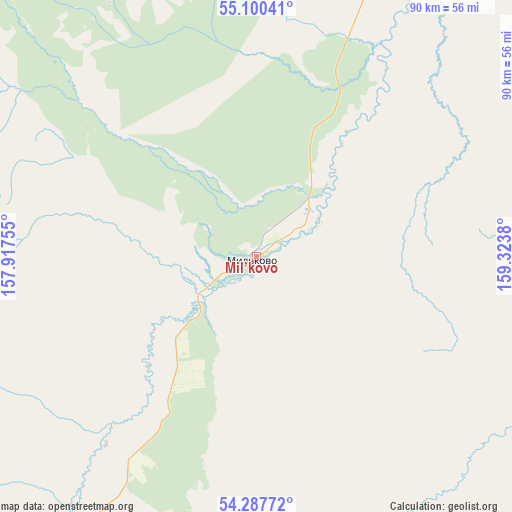
| Upper-left | 55.10041°, | 157.91755° |
| Center: | 54.6961°, | 158.62067° |
| Lower-right: | 54.28772°, | 159.3238° |
| Map W x H: | 90.4×90.4 km | = 56.2×56.2mi |
| max Lat: | 73.50819° ⇑49.7% North |
| Mil’kovo: | 54.6961° |
| min Lat: | ⇓50.3% South 41.28413° |
| min Long | Mil’kovo | max Long |
| -179.12198° | 158.62067° | 179.35046° |
| W 99.6%⇐ | ⇒0.40000000000001% E |
Elevation
Elevation of Mil’kovo is 154 m = 505 ft, and this is 48.6 m = 159 ft below average elevation for this country.
| Max E: |
2518 m = 8261 ft | 46.1% |
| Avg. | 202.6 m = 665 ft | |
| Mil’kovo | 154 m = 505 ft | |
Min E: |
-28 m = -92 ft | 53.9% |
See also: Russia elevation on elevation.city.
Geographical zone
Mil’kovo is located in North temperate zone (between Tropic of Cancer and the Arctic Circle). Distance of this North polar circle is 1319.5 km =819.9 mi to North.| Distance of | km | miles | from Mil’kovo |
|---|---|---|---|
| North Pole | 3925.4 | 2439.1 | to North |
| Arctic Circle | 1319.5 | 819.9 | to North |
| Tropic Cancer | 3475.7 | 2159.7 | to South |
| Equator | 6081.6 | 3778.9 | to South |


Nearby cities:
10 places around Mil’kovo: (largest is in red/bold)
• Atlasovo
120.3 km =74.8 mi,  32°
32°
• Esso
137 km =85.1 mi,  2°
2°
• Klyuchi
228.5 km =142 mi,  37°
37°
• Kozyrëvsk
169.9 km =105.6 mi, 27°
• Ozernovskiy
382.9 km =237.9 mi,  201°
201°
• Paratunka
194.3 km =120.7 mi,  187°
187°
• Petropavlovsk-Kamchatsky
183.7 km =114.1 mi,  179°
179°
• Tigil’
340.7 km =211.7 mi, 0°
• Vilyuchinsk
196.8 km =122.3 mi, 184°
• Yelizovo
168.3 km =104.6 mi, 185°
Sources, notices
• [Note1] Compared only with cities in Russia existing in our database
• [Src1] Map data: © OpenStreetMap contributors (CC-BY-SA)
• [Src2] Other city data from geonames.org with taken over terms of usage.
• [Src3] Geographical zone / Annual Mean Temperature by Robert A. Rohde @ Wikipedia
