Paratunka geodata
Paratunka (Kamchatka) is a populated place; located in Russia in Asia/Kamchatka (GMT+12) time zone. With population of 1,767 people, there are 4263 cities with bigger population in this country. Compared to other cities in Russia, 63.1% of cities are located further ↑North; 99.6% of cities are located further ←West and 86.7% of cities have higher elevation than Paratunka. Note1


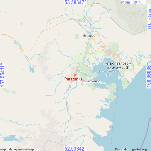
Paratunka GPS coordinates[2]
52° 57' 43.272" North, 158° 15' 26.028" East
| Map corner | latitude | longitude |
|---|---|---|
| Upper-left | 53.38347°, | 157.55411° |
| Center: | 52.96202°, | 158.25723° |
| Lower-right: | 52.53642°, | 158.96036° |
| Map W x H: | 94.2×94.2 km | = 58.5×58.5mi |
| max Lat: | 73.50819° ⇑63.1% North |
| Paratunka: | 52.96202° |
| min Lat: | ⇓36.9% South 41.28413° |
| min Long | Paratunka | max Long |
| -179.12198° | 158.25723° | 179.35046° |
| W 99.6%⇐ | ⇒0.40000000000001% E |
Elevation
Elevation of Paratunka is 41 m = 135 ft, and this is 161.6 m = 530 ft below average elevation for this country.
| Max E: |
2518 m = 8261 ft | 86.7% |
| Avg. | 202.6 m = 665 ft | |
| Paratunka | 41 m = 135 ft | |
Min E: |
-28 m = -92 ft | 13.3% |
See also: Russia elevation on elevation.city.
Geographical zone
Paratunka is located in North temperate zone (between Tropic of Cancer and the Arctic Circle). Distance of this North polar circle is 1512.3 km =939.7 mi to North.| Distance of | km | miles | from Paratunka |
|---|---|---|---|
| North Pole | 4118.2 | 2558.9 | to North |
| Arctic Circle | 1512.3 | 939.7 | to North |
| Tropic Cancer | 3282.9 | 2039.9 | to South |
| Equator | 5888.8 | 3659.1 | to South |


Nearby cities:
9 places around Paratunka: (largest is in red/bold)
• Atlasovo
307.5 km =191.1 mi,  16°
16°
• Esso
331 km =205.7 mi,  5°
5°
• Kozyrëvsk
358.6 km =222.8 mi, 16°
• Mil’kovo
194.3 km =120.7 mi, 7°
• Ozernovskiy
202.2 km =125.6 mi,  216°
216°
• Petropavlovsk-Kamchatsky
27.9 km =17.3 mi,  70°
70°
• Severo-Kuril’sk
293.4 km =182.3 mi,  209°
209°
• Vilyuchinsk
10.5 km =6.5 mi,  109°
109°
• Yelizovo
26.6 km =16.5 mi, 18°
Sources, notices
• [Note1] Compared only with cities in Russia existing in our database
• [Src1] Map data: © OpenStreetMap contributors (CC-BY-SA)
• [Src2] Other city data from geonames.org with taken over terms of usage.
• [Src3] Geographical zone / Annual Mean Temperature by Robert A. Rohde @ Wikipedia
