Verkhoshizhem’ye geodata
Verkhoshizhem’ye (Kirov) is a populated place; located in Russia in Europe/Kirov (GMT+3) time zone. With population of 4,800 people, there are 2741 cities with bigger population in this country. Compared to other cities in Russia, 82.7% of cities are located further ↓South; 60.9% of cities are located further ←West and 61.2% of cities have lower elevation than Verkhoshizhem’ye. Note1


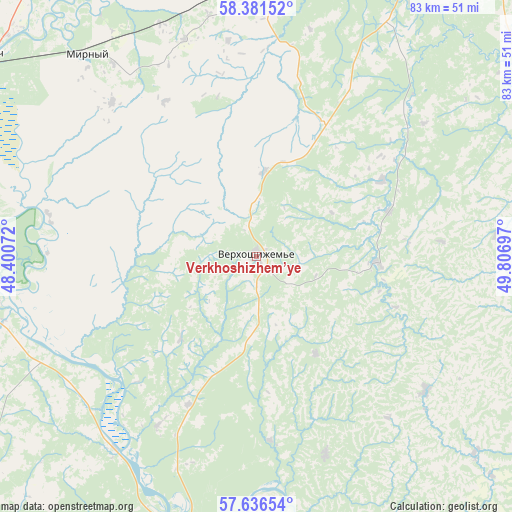
Verkhoshizhem’ye GPS coordinates[2]
58° 0' 39.492" North, 49° 6' 13.824" East
| Map corner | latitude | longitude |
|---|---|---|
| Upper-left | 58.38152°, | 48.40072° |
| Center: | 58.01097°, | 49.10384° |
| Lower-right: | 57.63654°, | 49.80697° |
| Map W x H: | 82.8×82.8 km | = 51.4×51.4mi |
| max Lat: | 73.50819° ⇑17.3% North |
| Verkhoshizhem’ye: | 58.01097° |
| min Lat: | ⇓82.7% South 41.28413° |
| min Long | Verkhoshizhem� | max Long |
| -179.12198° | 49.10384° | 179.35046° |
| W 60.9%⇐ | ⇒39.1% E |
Elevation
Elevation of Verkhoshizhem’ye is 172 m = 564 ft, and this is 30.6 m = 100 ft below average elevation for this country.
| Max E: |
2518 m = 8261 ft | 38.8% |
| Avg. | 202.6 m = 665 ft | |
| Verkhoshizhem’ye | 172 m = 564 ft | |
Min E: |
-28 m = -92 ft | 61.2% |
See also: Russia elevation on elevation.city.
Geographical zone
Verkhoshizhem’ye is located in North temperate zone (between Tropic of Cancer and the Arctic Circle). Distance of this North polar circle is 951 km =590.9 mi to North.| Distance of | km | miles | from Verkhoshizhem’ye |
|---|---|---|---|
| North Pole | 3556.8 | 2210.1 | to North |
| Arctic Circle | 951 | 590.9 | to North |
| Tropic Cancer | 3844.3 | 2388.7 | to South |
| Equator | 6450.2 | 4008 | to South |


Nearby cities:
15 places around Verkhoshizhem’ye: (largest is in red/bold)
• Arbazh
59.8 km =37.2 mi,  232°
232°
• Bystritsa
57.9 km =36 mi,  6°
6°
• Istobensk
48.8 km =30.3 mi,  337°
337°
• Kotel’nich
55.3 km =34.4 mi,  306°
306°
• Kumëny
49 km =30.4 mi,  77°
77°
• Lyangasovo
59.8 km =37.2 mi,  19°
19°
• Nizhneivkino
31.9 km =19.8 mi,  50°
50°
• Orichi
43.7 km =27.2 mi,  356°
356°
• Orlov
60.1 km =37.3 mi,  348°
348°
• Pasegovo
60 km =37.3 mi, 23°
• Raduzhnyy
62.8 km =39 mi,  30°
30°
• Sovetsk
48.2 km =30 mi,  190°
190°
• Strizhi
50.8 km =31.6 mi, 12°
• Suna
59.7 km =37.1 mi,  109°
109°
• Torfyanoy
53.7 km =33.4 mi, 5°
Sources, notices
• [Note1] Compared only with cities in Russia existing in our database
• [Src1] Map data: © OpenStreetMap contributors (CC-BY-SA)
• [Src2] Other city data from geonames.org with taken over terms of usage.
• [Src3] Geographical zone / Annual Mean Temperature by Robert A. Rohde @ Wikipedia
