Nizhneivkino geodata
Nizhneivkino (Kirov) is a populated place; located in Russia in Europe/Kirov (GMT+3) time zone. With population of 2,234 people, there are 4055 cities with bigger population in this country. Compared to other cities in Russia, 83.5% of cities are located further ↓South; 61.4% of cities are located further ←West and 50.2% of cities have higher elevation than Nizhneivkino. Note1


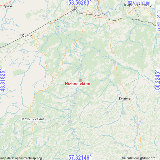
Nizhneivkino GPS coordinates[2]
58° 11' 38.328" North, 49° 31' 16.932" East
| Map corner | latitude | longitude |
|---|---|---|
| Upper-left | 58.56263°, | 48.81825° |
| Center: | 58.19398°, | 49.52137° |
| Lower-right: | 57.82146°, | 50.2245° |
| Map W x H: | 82.4×82.4 km | = 51.2×51.2mi |
| max Lat: | 73.50819° ⇑16.5% North |
| Nizhneivkino: | 58.19398° |
| min Lat: | ⇓83.5% South 41.28413° |
| min Long | Nizhneivkino | max Long |
| -179.12198° | 49.52137° | 179.35046° |
| W 61.4%⇐ | ⇒38.6% E |
Elevation
Elevation of Nizhneivkino is 144 m = 472 ft, and this is 58.6 m = 192 ft below average elevation for this country.
| Max E: |
2518 m = 8261 ft | 50.2% |
| Avg. | 202.6 m = 665 ft | |
| Nizhneivkino | 144 m = 472 ft | |
Min E: |
-28 m = -92 ft | 49.8% |
See also: Russia elevation on elevation.city.
Geographical zone
Nizhneivkino is located in North temperate zone (between Tropic of Cancer and the Arctic Circle). Distance of this North polar circle is 930.6 km =578.2 mi to North.| Distance of | km | miles | from Nizhneivkino |
|---|---|---|---|
| North Pole | 3536.5 | 2197.5 | to North |
| Arctic Circle | 930.6 | 578.2 | to North |
| Tropic Cancer | 3864.6 | 2401.4 | to South |
| Equator | 6470.6 | 4020.6 | to South |


Nearby cities:
15 places around Nizhneivkino: (largest is in red/bold)
• Bystritsa
41.2 km =25.6 mi,  334°
334°
• Istobensk
49.5 km =30.8 mi,  299°
299°
• Karintorf
55.8 km =34.7 mi,  44°
44°
• Kirov
45.5 km =28.3 mi,  10°
10°
• Kirovo-Chepetsk
50.2 km =31.2 mi, 37°
• Kumëny
25 km =15.5 mi,  112°
112°
• Lyangasovo
36.2 km =22.5 mi,  353°
353°
• Orichi
35.8 km =22.2 mi,  310°
310°
• Orlov
53.1 km =33 mi,  316°
316°
• Pasegovo
34.7 km =21.6 mi,  359°
359°
• Raduzhnyy
34.7 km =21.6 mi, 11°
• Strizhi
32.4 km =20.1 mi, 334°
• Suna
51 km =31.7 mi,  141°
141°
• Torfyanoy
38.1 km =23.7 mi, 330°
• Verkhoshizhem’ye
31.9 km =19.8 mi,  230°
230°
Sources, notices
• [Note1] Compared only with cities in Russia existing in our database
• [Src1] Map data: © OpenStreetMap contributors (CC-BY-SA)
• [Src2] Other city data from geonames.org with taken over terms of usage.
• [Src3] Geographical zone / Annual Mean Temperature by Robert A. Rohde @ Wikipedia
