Shilovo geodata
Shilovo (Tula) is a populated place; located in Russia in Europe/Moscow (GMT+3) time zone. With population of 669 people, there are 4841 cities with bigger population in this country. Compared to other cities in Russia, 61.5% of cities are located further ↑North; 74.2% of cities are located further →East and 52.8% of cities have lower elevation than Shilovo. Note1


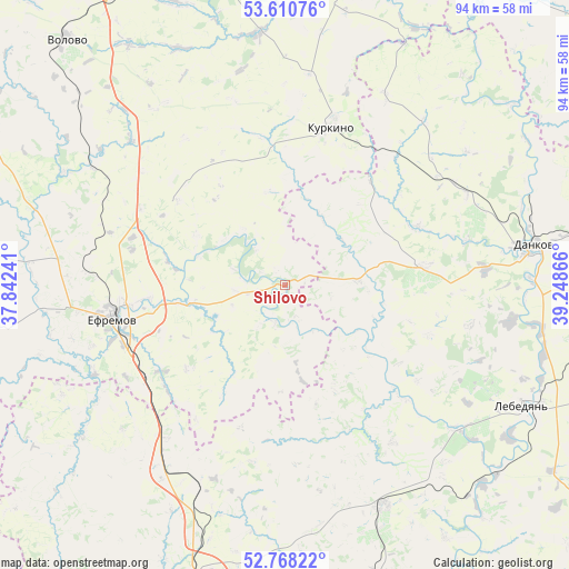
Shilovo GPS coordinates[2]
53° 11' 29.616" North, 38° 32' 43.908" East
| Map corner | latitude | longitude |
|---|---|---|
| Upper-left | 53.61076°, | 37.84241° |
| Center: | 53.19156°, | 38.54553° |
| Lower-right: | 52.76822°, | 39.24866° |
| Map W x H: | 93.7×93.7 km | = 58.2×58.2mi |
| max Lat: | 73.50819° ⇑61.5% North |
| Shilovo: | 53.19156° |
| min Lat: | ⇓38.5% South 41.28413° |
| min Long | Shilovo | max Long |
| -179.12198° | 38.54553° | 179.35046° |
| W 25.8%⇐ | ⇒74.2% E |
Elevation
Elevation of Shilovo is 151 m = 495 ft, and this is 51.6 m = 169 ft below average elevation for this country.
| Max E: |
2518 m = 8261 ft | 47.2% |
| Avg. | 202.6 m = 665 ft | |
| Shilovo | 151 m = 495 ft | |
Min E: |
-28 m = -92 ft | 52.8% |
See also: Russia elevation on elevation.city.
Geographical zone
Shilovo is located in North temperate zone (between Tropic of Cancer and the Arctic Circle). Distance of this North polar circle is 1486.8 km =923.9 mi to North.| Distance of | km | miles | from Shilovo |
|---|---|---|---|
| North Pole | 4092.7 | 2543.1 | to North |
| Arctic Circle | 1486.8 | 923.9 | to North |
| Tropic Cancer | 3308.4 | 2055.7 | to South |
| Equator | 5914.3 | 3675 | to South |


Nearby cities:
15 places around Shilovo: (largest is in red/bold)
• Berëzovka
35.4 km =22 mi,  39°
39°
• Dankov
41.2 km =25.6 mi,  80°
80°
• Kazachka
37 km =23 mi,  301°
301°
• Kazaki
65.8 km =40.9 mi,  196°
196°
• Kazanovka
62.7 km =39 mi,  1°
1°
• Krasnoye
40 km =24.9 mi,  155°
155°
• Kurkino
27.1 km =16.8 mi,  16°
16°
• Lebedyan’
45.6 km =28.3 mi,  114°
114°
• Lev Tolstoy
60 km =37.3 mi,  87°
87°
• Stanovoye
49.2 km =30.6 mi,  194°
194°
• Tovarkovskiy
58.9 km =36.6 mi,  337°
337°
• Volovo
54.4 km =33.8 mi,  318°
318°
• Voskresenskoye
44.1 km =27.4 mi,  26°
26°
• Yefremov
30.1 km =18.7 mi,  260°
260°
• Yelets
63.2 km =39.3 mi,  182°
182°
Sources, notices
• [Note1] Compared only with cities in Russia existing in our database
• [Src1] Map data: © OpenStreetMap contributors (CC-BY-SA)
• [Src2] Other city data from geonames.org with taken over terms of usage.
• [Src3] Geographical zone / Annual Mean Temperature by Robert A. Rohde @ Wikipedia
