Dankov geodata
Dankov (Lipetsk Oblast) is a populated place; located in Russia in Europe/Moscow (GMT+3) time zone. With population of 22,913 people, there are 794 cities with bigger population in this country. Compared to other cities in Russia, 60.8% of cities are located further ↑North; 71.4% of cities are located further →East and 50.2% of cities have higher elevation than Dankov. Note1


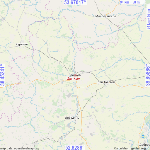
Dankov GPS coordinates[2]
53° 15' 5.58" North, 39° 9' 19.908" East
| Map corner | latitude | longitude |
|---|---|---|
| Upper-left | 53.67017°, | 38.45241° |
| Center: | 53.25155°, | 39.15553° |
| Lower-right: | 52.8288°, | 39.85866° |
| Map W x H: | 93.6×93.5 km | = 58.2×58.1mi |
| max Lat: | 73.50819° ⇑60.8% North |
| Dankov: | 53.25155° |
| min Lat: | ⇓39.2% South 41.28413° |
| min Long | Dankov | max Long |
| -179.12198° | 39.15553° | 179.35046° |
| W 28.6%⇐ | ⇒71.4% E |
Elevation
Elevation of Dankov is 144 m = 472 ft, and this is 58.6 m = 192 ft below average elevation for this country.
| Max E: |
2518 m = 8261 ft | 50.2% |
| Avg. | 202.6 m = 665 ft | |
| Dankov | 144 m = 472 ft | |
Min E: |
-28 m = -92 ft | 49.8% |
See also: Russia elevation on elevation.city.
Geographical zone
Dankov is located in North temperate zone (between Tropic of Cancer and the Arctic Circle). Distance of this North polar circle is 1480.2 km =919.8 mi to North.| Distance of | km | miles | from Dankov |
|---|---|---|---|
| North Pole | 4086 | 2538.9 | to North |
| Arctic Circle | 1480.2 | 919.8 | to North |
| Tropic Cancer | 3315.1 | 2059.9 | to South |
| Equator | 5921 | 3679.1 | to South |


Nearby cities:
15 places around Dankov: (largest is in red/bold)
• Berëzovka
27.2 km =16.9 mi,  318°
318°
• Chaplygin
53.7 km =33.4 mi,  90°
90°
• Dobroye
61.1 km =38 mi,  134°
134°
• Kalikino
56 km =34.8 mi, 126°
• Krasnoye
49.4 km =30.7 mi,  209°
209°
• Kurkino
38.3 km =23.8 mi,  300°
300°
• Kuz’minskiye Otverzhki
65.3 km =40.6 mi,  161°
161°
• Lebedyan’
25.8 km =16 mi,  178°
178°
• Lev Tolstoy
19.8 km =12.3 mi,  102°
102°
• Miloslavskoye
41.2 km =25.6 mi,  27°
27°
• Pavelets
60 km =37.3 mi,  5°
5°
• Poplevinskiy
54.6 km =33.9 mi, 28°
• Shilovo
41.2 km =25.6 mi,  260°
260°
• Voskresenskoye
38.8 km =24.1 mi,  327°
327°
• Zarechnyy
60.7 km =37.7 mi, 28°
Sources, notices
• [Note1] Compared only with cities in Russia existing in our database
• [Src1] Map data: © OpenStreetMap contributors (CC-BY-SA)
• [Src2] Other city data from geonames.org with taken over terms of usage.
• [Src3] Geographical zone / Annual Mean Temperature by Robert A. Rohde @ Wikipedia
