Pionerskiy geodata
Pionerskiy (Kaliningrad) is a seat of a second-order administrative division; located in Russia in Europe/Kaliningrad (GMT+2) time zone. With population of 11,856 people, there are 1293 cities with bigger population in this country. Compared to other cities in Russia, 52.8% of cities are located further ↓South; 99.7% of cities are located further →East and 91.6% of cities have higher elevation than Pionerskiy. Note1


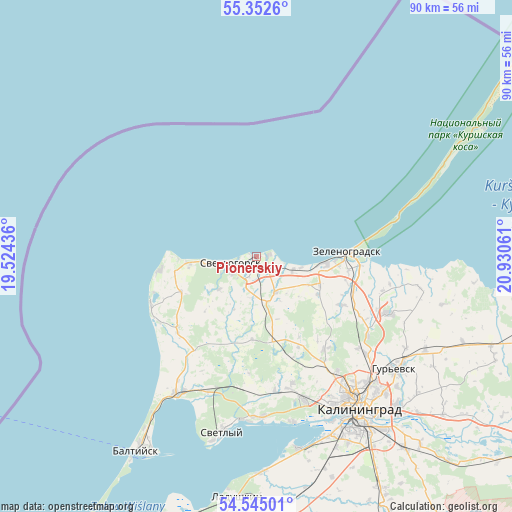
Pionerskiy GPS coordinates[2]
54° 57' 2.988" North, 20° 13' 38.928" East
| Map corner | latitude | longitude |
|---|---|---|
| Upper-left | 55.3526°, | 19.52436° |
| Center: | 54.95083°, | 20.22748° |
| Lower-right: | 54.54501°, | 20.93061° |
| Map W x H: | 89.8×89.8 km | = 55.8×55.8mi |
| max Lat: | 73.50819° ⇑47.2% North |
| Pionerskiy: | 54.95083° |
| min Lat: | ⇓52.8% South 41.28413° |
| min Long | Pionerskiy | max Long |
| -179.12198° | 20.22748° | 179.35046° |
| W 0.3%⇐ | ⇒99.7% E |
Elevation
Elevation of Pionerskiy is 23 m = 75 ft, and this is 179.6 m = 589 ft below average elevation for this country.
| Max E: |
2518 m = 8261 ft | 91.6% |
| Avg. | 202.6 m = 665 ft | |
| Pionerskiy | 23 m = 75 ft | |
Min E: |
-28 m = -92 ft | 8.4% |
See also: Russia elevation on elevation.city.
Geographical zone
Pionerskiy is located in North temperate zone (between Tropic of Cancer and the Arctic Circle). Distance of this North polar circle is 1291.2 km =802.3 mi to North.| Distance of | km | miles | from Pionerskiy |
|---|---|---|---|
| North Pole | 3897.1 | 2421.5 | to North |
| Arctic Circle | 1291.2 | 802.3 | to North |
| Tropic Cancer | 3504 | 2177.3 | to South |
| Equator | 6110 | 3796.6 | to South |


Nearby cities:
15 places around Pionerskiy: (largest is in red/bold)
• Bol'shoe Isakovo
35.3 km =21.9 mi,  137°
137°
• Donskoye
16.6 km =10.3 mi,  265°
265°
• Gur’yevsk
31.2 km =19.4 mi,  129°
129°
• Kaliningrad
32.7 km =20.3 mi,  146°
146°
• Khrabrovo
23.3 km =14.5 mi,  104°
104°
• Lesnoy
25.8 km =16 mi,  74°
74°
• Maloye Isakovo
33.3 km =20.7 mi, 136°
• Otradnoye
7.3 km =4.5 mi,  261°
261°
• Primorsk
27.5 km =17.1 mi,  211°
211°
• Svetlogorsk
4.8 km =3 mi, 255°
• Svetlyy
31.2 km =19.4 mi,  190°
190°
• Volochayevskoye
27.9 km =17.3 mi,  181°
181°
• Vzmorye
28.3 km =17.6 mi, 178°
• Yantarnyy
20.4 km =12.7 mi,  244°
244°
• Zelenogradsk
15.9 km =9.9 mi,  86°
86°
Sources, notices
• [Note1] Compared only with cities in Russia existing in our database
• [Src1] Map data: © OpenStreetMap contributors (CC-BY-SA)
• [Src2] Other city data from geonames.org with taken over terms of usage.
• [Src3] Geographical zone / Annual Mean Temperature by Robert A. Rohde @ Wikipedia
