Nikologory geodata
Nikologory (Vladimir) is a populated place; located in Russia in Europe/Moscow (GMT+3) time zone. With population of 6,244 people, there are 2193 cities with bigger population in this country. Compared to other cities in Russia, 68.5% of cities are located further ↓South; 59.7% of cities are located further →East and 61.4% of cities have higher elevation than Nikologory. Note1


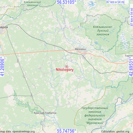
Nikologory GPS coordinates[2]
56° 8' 28.68" North, 41° 59' 31.848" East
| Map corner | latitude | longitude |
|---|---|---|
| Upper-left | 56.53105°, | 41.28906° |
| Center: | 56.1413°, | 41.99218° |
| Lower-right: | 55.74756°, | 42.69531° |
| Map W x H: | 87.1×87.1 km | = 54.1×54.1mi |
| max Lat: | 73.50819° ⇑31.5% North |
| Nikologory: | 56.1413° |
| min Lat: | ⇓68.5% South 41.28413° |
| min Long | Nikologory | max Long |
| -179.12198° | 41.99218° | 179.35046° |
| W 40.3%⇐ | ⇒59.7% E |
Elevation
Elevation of Nikologory is 121 m = 397 ft, and this is 81.6 m = 268 ft below average elevation for this country.
| Max E: |
2518 m = 8261 ft | 61.4% |
| Avg. | 202.6 m = 665 ft | |
| Nikologory | 121 m = 397 ft | |
Min E: |
-28 m = -92 ft | 38.6% |
See also: Russia elevation on elevation.city.
Geographical zone
Nikologory is located in North temperate zone (between Tropic of Cancer and the Arctic Circle). Distance of this North polar circle is 1158.8 km =720 mi to North.| Distance of | km | miles | from Nikologory |
|---|---|---|---|
| North Pole | 3764.7 | 2339.3 | to North |
| Arctic Circle | 1158.8 | 720 | to North |
| Tropic Cancer | 3636.4 | 2259.6 | to South |
| Equator | 6242.3 | 3878.8 | to South |


Nearby cities:
15 places around Nikologory: (largest is in red/bold)
• Gorokhovets
43.9 km =27.3 mi,  81°
81°
• Kovrov
48 km =29.8 mi,  300°
300°
• Krasnaya Gorbatka
33.3 km =20.7 mi,  205°
205°
• Krasnyy Mayak
40 km =24.9 mi,  255°
255°
• Krasnyy Oktyabr’
37.9 km =23.5 mi, 263°
• Luknovo
5.3 km =3.3 mi,  34°
34°
• Melekhovo
45.8 km =28.5 mi,  289°
289°
• Mosta
44.5 km =27.7 mi,  13°
13°
• Mstera
26.8 km =16.7 mi,  350°
350°
• Novovyazniki
12.7 km =7.9 mi,  60°
60°
• Oktyabr’skiy
9.1 km =5.7 mi,  19°
19°
• Stepantsevo
17.9 km =11.1 mi,  266°
266°
• Talitsy
47.8 km =29.7 mi, 25°
• Vyazniki
15 km =9.3 mi,  42°
42°
• Yuzha
49.1 km =30.5 mi,  1°
1°
Sources, notices
• [Note1] Compared only with cities in Russia existing in our database
• [Src1] Map data: © OpenStreetMap contributors (CC-BY-SA)
• [Src2] Other city data from geonames.org with taken over terms of usage.
• [Src3] Geographical zone / Annual Mean Temperature by Robert A. Rohde @ Wikipedia
