Dobryanka geodata
Dobryanka (Perm) is a populated place; located in Russia in Asia/Yekaterinburg (GMT+5) time zone. With population of 33,291 people, there are 603 cities with bigger population in this country. Compared to other cities in Russia, 84.7% of cities are located further ↓South; 68% of cities are located further ←West and 56.2% of cities have higher elevation than Dobryanka. Note1


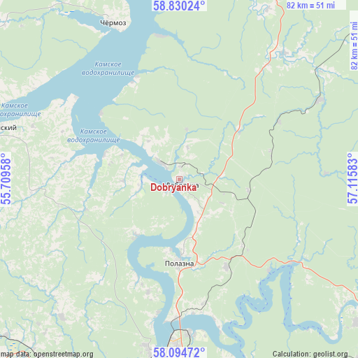
Dobryanka GPS coordinates[2]
58° 27' 51.84" North, 56° 24' 45.72" East
| Map corner | latitude | longitude |
|---|---|---|
| Upper-left | 58.83024°, | 55.70958° |
| Center: | 58.4644°, | 56.4127° |
| Lower-right: | 58.09472°, | 57.11583° |
| Map W x H: | 81.8×81.8 km | = 50.8×50.8mi |
| max Lat: | 73.50819° ⇑15.3% North |
| Dobryanka: | 58.4644° |
| min Lat: | ⇓84.7% South 41.28413° |
| min Long | Dobryanka | max Long |
| -179.12198° | 56.4127° | 179.35046° |
| W 68%⇐ | ⇒32% E |
Elevation
Elevation of Dobryanka is 132 m = 433 ft, and this is 70.6 m = 232 ft below average elevation for this country.
| Max E: |
2518 m = 8261 ft | 56.2% |
| Avg. | 202.6 m = 665 ft | |
| Dobryanka | 132 m = 433 ft | |
Min E: |
-28 m = -92 ft | 43.8% |
See also: Russia elevation on elevation.city.
Geographical zone
Dobryanka is located in North temperate zone (between Tropic of Cancer and the Arctic Circle). Distance of this North polar circle is 900.5 km =559.5 mi to North.| Distance of | km | miles | from Dobryanka |
|---|---|---|---|
| North Pole | 3506.4 | 2178.8 | to North |
| Arctic Circle | 900.5 | 559.5 | to North |
| Tropic Cancer | 3894.7 | 2420.1 | to South |
| Equator | 6500.6 | 4039.3 | to South |


Nearby cities:
15 places around Dobryanka: (largest is in red/bold)
• Chaykovskaya
63.4 km =39.4 mi,  233°
233°
• Chermoz
38.2 km =23.7 mi,  337°
337°
• Ferma
62.9 km =39.1 mi,  185°
185°
• Froly
60.9 km =37.8 mi, 187°
• Komarikhinskiy
57.9 km =36 mi,  134°
134°
• Kondratovo
56.7 km =35.2 mi,  198°
198°
• Krasnokamsk
57.5 km =35.7 mi,  221°
221°
• Novyye Lyady
46.9 km =29.1 mi,  165°
165°
• Overyata
53 km =32.9 mi, 217°
• Perm
51.4 km =31.9 mi, 190°
• Polazna
19.1 km =11.9 mi,  179°
179°
• Sokol
64.8 km =40.3 mi, 199°
• Sylva
52.4 km =32.6 mi,  156°
156°
• Ust’-Kachka
67.1 km =41.7 mi, 220°
• Verkhnechusovskiye Gorodki
52.4 km =32.6 mi, 129°
Sources, notices
• [Note1] Compared only with cities in Russia existing in our database
• [Src1] Map data: © OpenStreetMap contributors (CC-BY-SA)
• [Src2] Other city data from geonames.org with taken over terms of usage.
• [Src3] Geographical zone / Annual Mean Temperature by Robert A. Rohde @ Wikipedia
