Aginskoye geodata
Aginskoye (Krasnoyarskiy) is a populated place; located in Russia in Asia/Krasnoyarsk (GMT+7) time zone. With population of 6,077 people, there are 2233 cities with bigger population in this country. Compared to other cities in Russia, 55.8% of cities are located further ↓South; 87.2% of cities are located further ←West and 85.9% of cities have lower elevation than Aginskoye. Note1


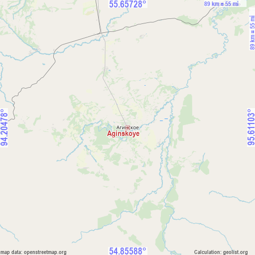
Aginskoye GPS coordinates[2]
55° 15' 30.96" North, 94° 54' 28.44" East
| Map corner | latitude | longitude |
|---|---|---|
| Upper-left | 55.65728°, | 94.20478° |
| Center: | 55.2586°, | 94.9079° |
| Lower-right: | 54.85588°, | 95.61103° |
| Map W x H: | 89.1×89.1 km | = 55.4×55.4mi |
| max Lat: | 73.50819° ⇑44.2% North |
| Aginskoye: | 55.2586° |
| min Lat: | ⇓55.8% South 41.28413° |
| min Long | Aginskoye | max Long |
| -179.12198° | 94.9079° | 179.35046° |
| W 87.2%⇐ | ⇒12.8% E |
Elevation
Elevation of Aginskoye is 342 m = 1122 ft, and this is 139.4 m = 457 ft above average elevation for this country.
| Max E: |
2518 m = 8261 ft | 14.1% |
| Aginskoye | 342 m 1122 ft | |
| Avg. | 202.6 m = 665 ft | |
Min E: |
-28 m = -92 ft | 85.9% |
See also: Russia elevation on elevation.city.
Geographical zone
Aginskoye is located in North temperate zone (between Tropic of Cancer and the Arctic Circle). Distance of this North polar circle is 1257 km =781.1 mi to North.| Distance of | km | miles | from Aginskoye |
|---|---|---|---|
| North Pole | 3862.9 | 2400.3 | to North |
| Arctic Circle | 1257 | 781.1 | to North |
| Tropic Cancer | 3538.3 | 2198.6 | to South |
| Equator | 6144.2 | 3817.8 | to South |


Nearby cities:
15 places around Aginskoye: (largest is in red/bold)
• Berëzovka
141.7 km =88 mi,  307°
307°
• Borodino
72 km =44.7 mi,  0°
0°
• Filimonovo
110.4 km =68.6 mi,  18°
18°
• Ilanskiy
130.3 km =81 mi,  33°
33°
• Irbeyskoye
54.5 km =33.9 mi,  38°
38°
• Irsha
74.7 km =46.4 mi,  354°
354°
• Kansk
116.5 km =72.4 mi, 25°
• Partizanskoye
42 km =26.1 mi, 309°
• Shalinskoye
88.7 km =55.1 mi, 305°
• Sosnovoborsk
137.4 km =85.4 mi, 314°
• Ural
72.5 km =45 mi, 352°
• Uyar
71.6 km =44.5 mi,  329°
329°
• Zelenogorsk
96.9 km =60.2 mi, 348°
• Zheleznogorsk
140 km =87 mi,  322°
322°
• Zykovo
134.3 km =83.5 mi, 305°
Sources, notices
• [Note1] Compared only with cities in Russia existing in our database
• [Src1] Map data: © OpenStreetMap contributors (CC-BY-SA)
• [Src2] Other city data from geonames.org with taken over terms of usage.
• [Src3] Geographical zone / Annual Mean Temperature by Robert A. Rohde @ Wikipedia
