Bel Ombre geodata
Bel Ombre is a seat of a first-order administrative division; located in Seychelles in Indian/Mahe (GMT+4) time zone. With population of 4,163 people, there are 2 cities with bigger population in this country. Compared to other cities in Seychelles, 87.5% of cities are located further ↓South; 100% of cities are located further →East and 50% of cities have lower elevation than Bel Ombre. Note1


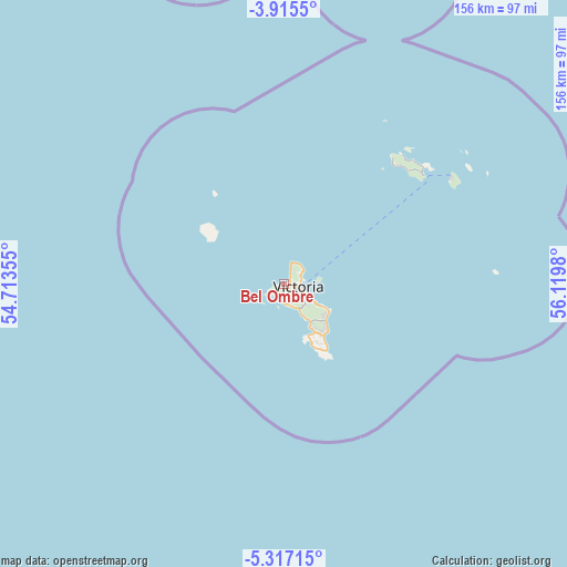
Bel Ombre GPS coordinates[2]
4° 37' 0.012" South, 55° 25' 0.012" East
| Map corner | latitude | longitude |
|---|---|---|
| Upper-left | -3.9155°, | 54.71355° |
| Center: | -4.61667°, | 55.41667° |
| Lower-right: | -5.31715°, | 56.1198° |
| Map W x H: | 155.8×155.9 km | = 96.8×96.9mi |
| max Lat: | -4.34808° ⇑12.5% North |
| Bel Ombre: | -4.61667° |
| min Lat: | ⇓87.5% South -4.76667° |
| min Long | Bel Ombre | max Long |
| 55.41667° | 55.41667° | 55.83269° |
| W 0%⇐ | ⇒100% E |
Elevation
Elevation of Bel Ombre is 16 m = 52 ft, and this is 41.6 m = 136 ft below average elevation for this country.
| Max E: |
272 m = 892 ft | 50% |
| Avg. | 57.6 m = 189 ft | |
| Bel Ombre | 16 m = 52 ft | |
Min E: |
3 m = 10 ft | 50% |
See also: Seychelles elevation on elevation.city.
Geographical zone
Bel Ombre is located in South Torrid zone (between Equator and Tropic of Capricorn). Distance of Equator is 513.3 km =318.9 mi to North.| Distance of | km | miles | from Bel Ombre |
|---|---|---|---|
| Equator | 513.3 | 318.9 | to North |
| Tropic Capricorn | 2092.6 | 1300.3 | to South |
| Antarctic Circle | 6887.8 | 4279.9 | to South |
| South Pole | 9493.7 | 5899.1 | to South |


Nearby cities:
8 places around Bel Ombre: (largest is in red/bold)
• Anse Boileau
13.3 km =8.3 mi,  146°
146°
• Anse Royale
17.1 km =10.6 mi,  139°
139°
• Beau Vallon
1.6 km =1 mi,  107°
107°
• Cascade
10.8 km =6.7 mi,  121°
121°
• La Passe
54.9 km =34.1 mi,  57°
57°
• Port Glaud
5.6 km =3.5 mi,  180°
180°
• Takamaka
19.1 km =11.9 mi, 151°
• Victoria
4.3 km =2.7 mi,  94°
94°
Sources, notices
• [Note1] Compared only with cities in Seychelles existing in our database
• [Src1] Map data: © OpenStreetMap contributors (CC-BY-SA)
• [Src2] Other city data from geonames.org with taken over terms of usage.
• [Src3] Geographical zone / Annual Mean Temperature by Robert A. Rohde @ Wikipedia
