Cockburn Harbour geodata
Cockburn Harbour is a populated place; located in Turks and Caicos Islands in America/Grand_Turk (GMT-4) time zone. With population of 811 people, there is 1 city with bigger population in this country. Note1


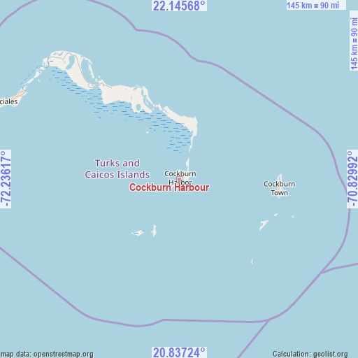
Cockburn Harbour GPS coordinates[2]
21° 29' 34.548" North, 71° 31' 58.944" West
| Map corner | latitude | longitude |
|---|---|---|
| Upper-left | 22.14568°, | -72.23617° |
| Center: | 21.49293°, | -71.53304° |
| Lower-right: | 20.83724°, | -70.82992° |
| Map W x H: | 145.5×145.5 km | = 90.4×90.4mi |
Elevation
Elevation of Cockburn Harbour is 8 m = 26 ft, and this is 0.5 m = 2 ft above average elevation for this country.
See also: Turks and Caicos Islands elevation on elevation.city.
Geographical zone
Cockburn Harbour is located in North Torrid zone (between Equator and Tropic of Cancer). Distance of this Northern Tropic circle is 216.1 km =134.3 mi to North.| Distance of | km | miles | from Cockburn Harbour |
|---|---|---|---|
| North Pole | 7617.3 | 4733.2 | to North |
| Arctic Circle | 5011.4 | 3113.9 | to North |
| Tropic Cancer | 216.1 | 134.3 | to North |
| Equator | 2389.8 | 1485 | to South |


Nearby cities:
1 places around Cockburn Harbour: (largest is in red/bold)
• Cockburn Town
40.6 km =25.2 mi,  94°
94°
Sources, notices
• [Note1] Compared only with cities in Turks and Caicos Islands existing in our database
• [Src1] Map data: © OpenStreetMap contributors (CC-BY-SA)
• [Src2] Other city data from geonames.org with taken over terms of usage.
• [Src3] Geographical zone / Annual Mean Temperature by Robert A. Rohde @ Wikipedia
