Homestead geodata
Homestead (Florida) is a populated place; located in United States in America/New_York (GMT-4) time zone. With population of 66,498 people, there are 640 cities with bigger population in this country. Compared to other cities in United States, 99.3% of cities are located further ↑North; 70.9% of cities are located further ←West and 97.4% of cities have higher elevation than Homestead. Note1


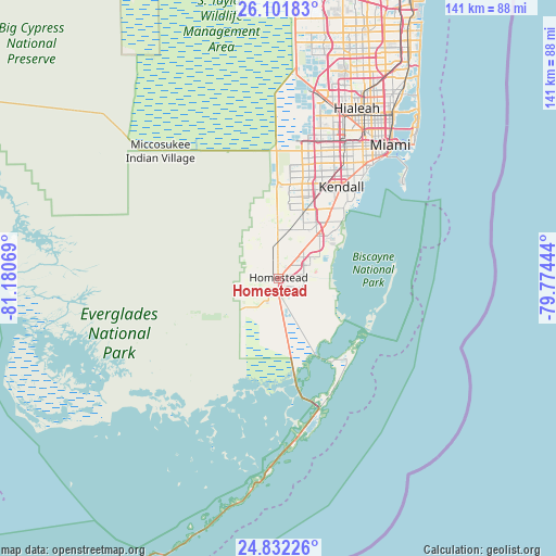
Homestead GPS coordinates[2]
25° 28' 7.392" North, 80° 28' 39.216" West
| Map corner | latitude | longitude |
|---|---|---|
| Upper-left | 26.10183°, | -81.18069° |
| Center: | 25.46872°, | -80.47756° |
| Lower-right: | 24.83226°, | -79.77444° |
| Map W x H: | 141.2×141.2 km | = 87.7×87.7mi |
| max Lat: | 71.29058° ⇑99.3% North |
| Homestead: | 25.46872° |
| min Lat: | ⇓0.7% South 19.06759° |
| min Long | Homestead | max Long |
| -171.73463° | -80.47756° | -66.98998° |
| W 70.9%⇐ | ⇒29.1% E |
Elevation
Elevation of Homestead is 6 m = 20 ft, and this is 288.8 m = 948 ft below average elevation for this country.
| Max E: |
3189 m = 10463 ft | 97.4% |
| Avg. | 294.8 m = 967 ft | |
| Homestead | 6 m = 20 ft | |
Min E: |
-60 m = -197 ft | 2.6% |
See also: Homestead elevation on elevation.city.
Geographical zone
Homestead is located in North temperate zone (between Tropic of Cancer and the Arctic Circle). Distance of this Northern Tropic circle is 225.9 km =140.4 mi to South.| Distance of | km | miles | from Homestead |
|---|---|---|---|
| North Pole | 7175.2 | 4458.5 | to North |
| Arctic Circle | 4569.3 | 2839.2 | to North |
| Tropic Cancer | 225.9 | 140.4 | to South |
| Equator | 2831.9 | 1759.7 | to South |


Nearby cities:
15 places around Homestead: (largest is in red/bold)
• Country Walk
18.9 km =11.7 mi,  13°
13°
• Cutler Bay
18.6 km =11.6 mi,  49°
49°
• Cutler Ridge
18.1 km =11.2 mi, 46°
• Florida City
2.3 km =1.4 mi,  184°
184°
• Goulds
14.2 km =8.8 mi,  42°
42°
• Homestead Base
9.1 km =5.7 mi,  72°
72°
• Lakes by the Bay
19.1 km =11.9 mi, 52°
• Leisure City
5.7 km =3.5 mi,  58°
58°
• Naranja
7.8 km =4.8 mi, 44°
• Palmetto Estates
20.6 km =12.8 mi,  34°
34°
• Princeton
10.4 km =6.5 mi, 41°
• Richmond West
16.5 km =10.3 mi,  16°
16°
• South Miami Heights
17.3 km =10.7 mi, 34°
• Three Lakes
20.8 km =12.9 mi, 22°
• West Perrine
19.1 km =11.9 mi, 37°
Sources, notices
• [Note1] Compared only with cities in United States existing in our database
• [Src1] Map data: © OpenStreetMap contributors (CC-BY-SA)
• [Src2] Other city data from geonames.org with taken over terms of usage.
• [Src3] Geographical zone / Annual Mean Temperature by Robert A. Rohde @ Wikipedia
