Thomson geodata
Thomson (Georgia) is a seat of a second-order administrative division; located in United States in America/New_York (GMT-4) time zone. With population of 6,689 people, there are 5981 cities with bigger population in this country. Compared to other cities in United States, 83.3% of cities are located further ↑North; 63.8% of cities are located further ←West and 58.4% of cities have higher elevation than Thomson. Note1


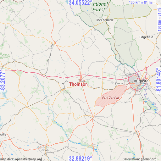
Thomson GPS coordinates[2]
33° 28' 14.484" North, 82° 30' 16.452" West
| Map corner | latitude | longitude |
|---|---|---|
| Upper-left | 34.05522°, | -83.2077° |
| Center: | 33.47069°, | -82.50457° |
| Lower-right: | 32.88219°, | -81.80145° |
| Map W x H: | 130.4×130.4 km | = 81×81mi |
| max Lat: | 71.29058° ⇑83.3% North |
| Thomson: | 33.47069° |
| min Lat: | ⇓16.7% South 19.06759° |
| min Long | Thomson | max Long |
| -171.73463° | -82.50457° | -66.98998° |
| W 63.8%⇐ | ⇒36.2% E |
Elevation
Elevation of Thomson is 163 m = 535 ft, and this is 131.8 m = 432 ft below average elevation for this country.
| Max E: |
3189 m = 10463 ft | 58.4% |
| Avg. | 294.8 m = 967 ft | |
| Thomson | 163 m = 535 ft | |
Min E: |
-60 m = -197 ft | 41.6% |
See also: United States elevation on elevation.city.
Geographical zone
Thomson is located in North temperate zone (between Tropic of Cancer and the Arctic Circle). Distance of this Northern Tropic circle is 1115.7 km =693.3 mi to South.| Distance of | km | miles | from Thomson |
|---|---|---|---|
| North Pole | 6285.5 | 3905.6 | to North |
| Arctic Circle | 3679.6 | 2286.4 | to North |
| Tropic Cancer | 1115.7 | 693.3 | to South |
| Equator | 3721.6 | 2312.5 | to South |


Nearby cities:
15 places around Thomson: (largest is in red/bold)
• Appling
19.3 km =12 mi,  64°
64°
• Blythe
34.4 km =21.4 mi,  125°
125°
• Crawfordville
37.5 km =23.3 mi,  284°
284°
• Dearing
12.8 km =8 mi,  119°
119°
• Evans
35.4 km =22 mi,  78°
78°
• Firing Range
17.7 km =11 mi,  257°
257°
• Gibson
27.7 km =17.2 mi,  197°
197°
• Grovetown
28.5 km =17.7 mi,  94°
94°
• Harlem
18.9 km =11.7 mi,  109°
109°
• Kingston
39.5 km =24.5 mi, 88°
• Lincolnton
35.8 km =22.2 mi,  3°
3°
• Warrenton
16.2 km =10.1 mi,  244°
244°
• Washington
36.7 km =22.8 mi,  323°
323°
• West Warrenton
17.1 km =10.6 mi,  247°
247°
• Wrens
31.1 km =19.3 mi,  160°
160°
Sources, notices
• [Note1] Compared only with cities in United States existing in our database
• [Src1] Map data: © OpenStreetMap contributors (CC-BY-SA)
• [Src2] Other city data from geonames.org with taken over terms of usage.
• [Src3] Geographical zone / Annual Mean Temperature by Robert A. Rohde @ Wikipedia
