Grovetown geodata
Grovetown (Georgia) is a populated place; located in United States in America/New_York (GMT-4) time zone. With population of 13,093 people, there are 3645 cities with bigger population in this country. Compared to other cities in United States, 83.3% of cities are located further ↑North; 64.9% of cities are located further ←West and 60.7% of cities have higher elevation than Grovetown. Note1


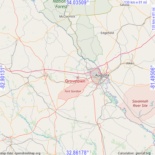
Grovetown GPS coordinates[2]
33° 27' 1.512" North, 82° 11' 53.448" West
| Map corner | latitude | longitude |
|---|---|---|
| Upper-left | 34.03509°, | -82.90131° |
| Center: | 33.45042°, | -82.19818° |
| Lower-right: | 32.86178°, | -81.49506° |
| Map W x H: | 130.5×130.5 km | = 81.1×81.1mi |
| max Lat: | 71.29058° ⇑83.3% North |
| Grovetown: | 33.45042° |
| min Lat: | ⇓16.7% South 19.06759° |
| min Long | Grovetown | max Long |
| -171.73463° | -82.19818° | -66.98998° |
| W 64.9%⇐ | ⇒35.1% E |
Elevation
Elevation of Grovetown is 151 m = 495 ft, and this is 143.8 m = 472 ft below average elevation for this country.
| Max E: |
3189 m = 10463 ft | 60.7% |
| Avg. | 294.8 m = 967 ft | |
| Grovetown | 151 m = 495 ft | |
Min E: |
-60 m = -197 ft | 39.3% |
See also: United States elevation on elevation.city.
Geographical zone
Grovetown is located in North temperate zone (between Tropic of Cancer and the Arctic Circle). Distance of this Northern Tropic circle is 1113.4 km =691.8 mi to South.| Distance of | km | miles | from Grovetown |
|---|---|---|---|
| North Pole | 6287.7 | 3907 | to North |
| Arctic Circle | 3681.8 | 2287.8 | to North |
| Tropic Cancer | 1113.4 | 691.8 | to South |
| Equator | 3719.3 | 2311.1 | to South |


Nearby cities:
15 places around Grovetown: (largest is in red/bold)
• Appling
15.3 km =9.5 mi,  313°
313°
• Augusta
20.8 km =12.9 mi,  83°
83°
• Belvedere
25.1 km =15.6 mi,  69°
69°
• Blythe
17.5 km =10.9 mi,  181°
181°
• Clearwater
28.9 km =18 mi, 79°
• Dearing
17.8 km =11.1 mi,  256°
256°
• Evans
11.2 km =7 mi,  34°
34°
• Harlem
11.3 km =7 mi,  249°
249°
• Hephzibah
17.8 km =11.1 mi,  148°
148°
• Kingston
11.5 km =7.1 mi, 73°
• Martinez
13.6 km =8.5 mi,  56°
56°
• Murphys Estates
28.9 km =18 mi,  54°
54°
• North Augusta
22.4 km =13.9 mi, 75°
• Thomson
28.5 km =17.7 mi,  274°
274°
• Wrens
32.4 km =20.1 mi,  213°
213°
Sources, notices
• [Note1] Compared only with cities in United States existing in our database
• [Src1] Map data: © OpenStreetMap contributors (CC-BY-SA)
• [Src2] Other city data from geonames.org with taken over terms of usage.
• [Src3] Geographical zone / Annual Mean Temperature by Robert A. Rohde @ Wikipedia
