Covington geodata
Covington (Louisiana) is a seat of a second-order administrative division; located in United States in America/Chicago (GMT-5) time zone. With population of 9,928 people, there are 4481 cities with bigger population in this country. Compared to other cities in United States, 91.9% of cities are located further ↑North; 59.3% of cities are located further →East and 92.1% of cities have higher elevation than Covington. Note1


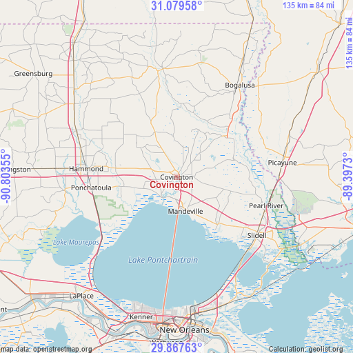
Covington GPS coordinates[2]
30° 28' 31.764" North, 90° 6' 1.512" West
| Map corner | latitude | longitude |
|---|---|---|
| Upper-left | 31.07958°, | -90.80355° |
| Center: | 30.47549°, | -90.10042° |
| Lower-right: | 29.86763°, | -89.3973° |
| Map W x H: | 134.8×134.8 km | = 83.8×83.8mi |
| max Lat: | 71.29058° ⇑91.9% North |
| Covington: | 30.47549° |
| min Lat: | ⇓8.1% South 19.06759° |
| min Long | Covington | max Long |
| -171.73463° | -90.10042° | -66.98998° |
| W 40.7%⇐ | ⇒59.3% E |
Elevation
Elevation of Covington is 12 m = 39 ft, and this is 282.8 m = 928 ft below average elevation for this country.
| Max E: |
3189 m = 10463 ft | 92.1% |
| Avg. | 294.8 m = 967 ft | |
| Covington | 12 m = 39 ft | |
Min E: |
-60 m = -197 ft | 7.9% |
See also: United States elevation on elevation.city.
Geographical zone
Covington is located in North temperate zone (between Tropic of Cancer and the Arctic Circle). Distance of this Northern Tropic circle is 782.6 km =486.3 mi to South.| Distance of | km | miles | from Covington |
|---|---|---|---|
| North Pole | 6618.5 | 4112.5 | to North |
| Arctic Circle | 4012.6 | 2493.3 | to North |
| Tropic Cancer | 782.6 | 486.3 | to South |
| Equator | 3388.6 | 2105.6 | to South |


Nearby cities:
15 places around Covington: (largest is in red/bold)
• Abita Springs
5.8 km =3.6 mi,  86°
86°
• Eden Isle
39.9 km =24.8 mi,  133°
133°
• Folsom
19.1 km =11.9 mi,  334°
334°
• Franklinton
41.7 km =25.9 mi,  352°
352°
• Hammond
34.9 km =21.7 mi,  275°
275°
• Lacombe
23.5 km =14.6 mi,  140°
140°
• Madisonville
9.6 km =6 mi,  214°
214°
• Mandeville
13.5 km =8.4 mi,  165°
165°
• Natalbany
37.8 km =23.5 mi, 282°
• Nicholson
39 km =24.2 mi, 89°
• Pearl River
35.5 km =22.1 mi,  108°
108°
• Picayune
40.9 km =25.4 mi,  82°
82°
• Ponchatoula
32.9 km =20.4 mi,  262°
262°
• Slidell
37.9 km =23.5 mi, 126°
• Tickfaw
38.5 km =23.9 mi,  287°
287°
Sources, notices
• [Note1] Compared only with cities in United States existing in our database
• [Src1] Map data: © OpenStreetMap contributors (CC-BY-SA)
• [Src2] Other city data from geonames.org with taken over terms of usage.
• [Src3] Geographical zone / Annual Mean Temperature by Robert A. Rohde @ Wikipedia
