Waggaman geodata
Waggaman (Louisiana) is a populated place; located in United States in America/Chicago (GMT-5) time zone. With population of 10,015 people, there are 4459 cities with bigger population in this country. Compared to other cities in United States, 93.6% of cities are located further ↑North; 59.7% of cities are located further →East and 98.8% of cities have higher elevation than Waggaman. Note1


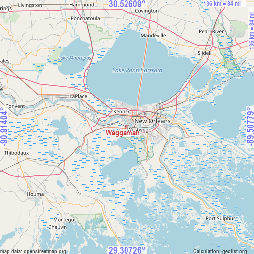
Waggaman GPS coordinates[2]
29° 55' 6.744" North, 90° 12' 39.276" West
| Map corner | latitude | longitude |
|---|---|---|
| Upper-left | 30.52609°, | -90.91404° |
| Center: | 29.91854°, | -90.21091° |
| Lower-right: | 29.30726°, | -89.50779° |
| Map W x H: | 135.5×135.5 km | = 84.2×84.2mi |
| max Lat: | 71.29058° ⇑93.6% North |
| Waggaman: | 29.91854° |
| min Lat: | ⇓6.4% South 19.06759° |
| min Long | Waggaman | max Long |
| -171.73463° | -90.21091° | -66.98998° |
| W 40.3%⇐ | ⇒59.7% E |
Elevation
Elevation of Waggaman is 4 m = 13 ft, and this is 290.8 m = 954 ft below average elevation for this country.
| Max E: |
3189 m = 10463 ft | 98.8% |
| Avg. | 294.8 m = 967 ft | |
| Waggaman | 4 m = 13 ft | |
Min E: |
-60 m = -197 ft | 1.2% |
See also: United States elevation on elevation.city.
Geographical zone
Waggaman is located in North temperate zone (between Tropic of Cancer and the Arctic Circle). Distance of this Northern Tropic circle is 720.7 km =447.8 mi to South.| Distance of | km | miles | from Waggaman |
|---|---|---|---|
| North Pole | 6680.4 | 4151 | to North |
| Arctic Circle | 4074.5 | 2531.8 | to North |
| Tropic Cancer | 720.7 | 447.8 | to South |
| Equator | 3326.6 | 2067.1 | to South |


Nearby cities:
15 places around Waggaman: (largest is in red/bold)
• Ama
9.1 km =5.7 mi,  294°
294°
• Avondale
0.9 km =0.6 mi,  131°
131°
• Bridge City
4.3 km =2.7 mi,  67°
67°
• Elmwood
4.7 km =2.9 mi,  25°
25°
• Estelle
12.9 km =8 mi, 128°
• Harahan
2.6 km =1.6 mi,  17°
17°
• Harvey
13 km =8.1 mi,  97°
97°
• Jefferson
7.7 km =4.8 mi,  46°
46°
• Kenner
8.9 km =5.5 mi,  340°
340°
• Marrero
10.9 km =6.8 mi, 101°
• Metairie
9.2 km =5.7 mi,  37°
37°
• Metairie Terrace
8.1 km =5 mi, 34°
• River Ridge
4.7 km =2.9 mi,  354°
354°
• Saint Rose
11.3 km =7 mi, 286°
• Westwego
6.8 km =4.2 mi, 101°
Sources, notices
• [Note1] Compared only with cities in United States existing in our database
• [Src1] Map data: © OpenStreetMap contributors (CC-BY-SA)
• [Src2] Other city data from geonames.org with taken over terms of usage.
• [Src3] Geographical zone / Annual Mean Temperature by Robert A. Rohde @ Wikipedia
