Poplar Bluff geodata
Poplar Bluff (Missouri) is a seat of a second-order administrative division; located in United States in America/Chicago (GMT-5) time zone. With population of 17,266 people, there are 2873 cities with bigger population in this country. Compared to other cities in United States, 67.1% of cities are located further ↑North; 60.5% of cities are located further →East and 67.3% of cities have higher elevation than Poplar Bluff. Note1
Administrative division(s):
- Level 1: Missouri
- Level 2: Butler County
- Level 3: Township of Poplar Bluff


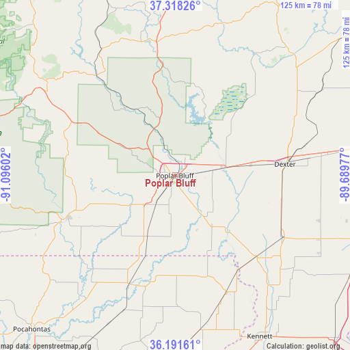
Poplar Bluff GPS coordinates[2]
36° 45' 25.2" North, 90° 23' 34.404" West
| Map corner | latitude | longitude |
|---|---|---|
| Upper-left | 37.31826°, | -91.09602° |
| Center: | 36.757°, | -90.39289° |
| Lower-right: | 36.19161°, | -89.68977° |
| Map W x H: | 125.3×125.3 km | = 77.9×77.9mi |
| max Lat: | 71.29058° ⇑67.1% North |
| Poplar Bluff: | 36.757° |
| min Lat: | ⇓32.9% South 19.06759° |
| min Long | Poplar Bluff | max Long |
| -171.73463° | -90.39289° | -66.98998° |
| W 39.5%⇐ | ⇒60.5% E |
Elevation
Elevation of Poplar Bluff is 116 m = 381 ft, and this is 178.8 m = 587 ft below average elevation for this country.
| Max E: |
3189 m = 10463 ft | 67.3% |
| Avg. | 294.8 m = 967 ft | |
| Poplar Bluff | 116 m = 381 ft | |
Min E: |
-60 m = -197 ft | 32.7% |
See also: United States elevation on elevation.city.
Geographical zone
Poplar Bluff is located in North temperate zone (between Tropic of Cancer and the Arctic Circle). Distance of this Northern Tropic circle is 1481.1 km =920.3 mi to South.| Distance of | km | miles | from Poplar Bluff |
|---|---|---|---|
| North Pole | 5920.1 | 3678.6 | to North |
| Arctic Circle | 3314.2 | 2059.3 | to North |
| Tropic Cancer | 1481.1 | 920.3 | to South |
| Equator | 4087 | 2539.5 | to South |


Nearby cities:
15 places around Poplar Bluff: (largest is in red/bold)
• Bernie
39.1 km =24.3 mi,  104°
104°
• Bloomfield
43.7 km =27.2 mi,  70°
70°
• Campbell
40.8 km =25.4 mi,  135°
135°
• Clarkton
51 km =31.7 mi,  131°
131°
• Corning
42.3 km =26.3 mi,  203°
203°
• Dexter
39 km =24.2 mi,  83°
83°
• Doniphan
41.3 km =25.7 mi,  248°
248°
• Fairdealing
22.5 km =14 mi,  242°
242°
• Greenville
41.5 km =25.8 mi,  352°
352°
• Holcomb
51.7 km =32.1 mi, 140°
• Malden
44.1 km =27.4 mi,  120°
120°
• Naylor
27.6 km =17.1 mi,  222°
222°
• Piedmont
51.7 km =32.1 mi,  328°
328°
• Piggott
45.4 km =28.2 mi,  156°
156°
• Puxico
29.9 km =18.6 mi,  44°
44°
Sources, notices
• [Note1] Compared only with cities in United States existing in our database
• [Src1] Map data: © OpenStreetMap contributors (CC-BY-SA)
• [Src2] Other city data from geonames.org with taken over terms of usage.
• [Src3] Geographical zone / Annual Mean Temperature by Robert A. Rohde @ Wikipedia
