Monroe geodata
Monroe (Ohio) is a populated place; located in United States in America/New_York (GMT-4) time zone. With population of 13,393 people, there are 3575 cities with bigger population in this country. Compared to other cities in United States, 51.3% of cities are located further ↑North; 58% of cities are located further ←West and 63.1% of cities have lower elevation than Monroe. Note1


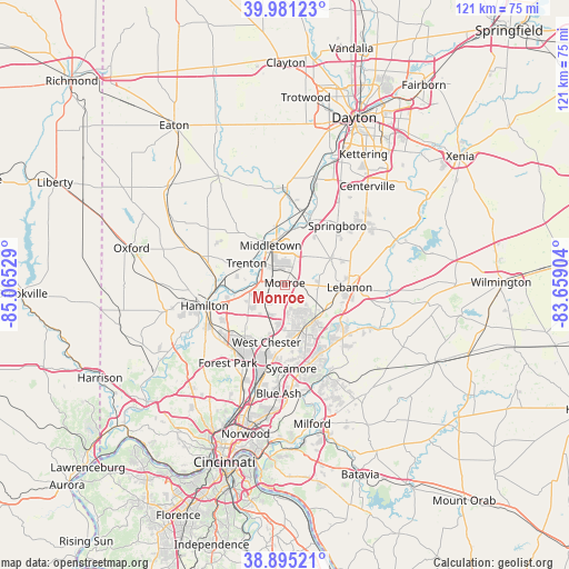
Monroe GPS coordinates[2]
39° 26' 25.224" North, 84° 21' 43.776" West
| Map corner | latitude | longitude |
|---|---|---|
| Upper-left | 39.98123°, | -85.06529° |
| Center: | 39.44034°, | -84.36216° |
| Lower-right: | 38.89521°, | -83.65904° |
| Map W x H: | 120.8×120.8 km | = 75.1×75.1mi |
| max Lat: | 71.29058° ⇑51.3% North |
| Monroe: | 39.44034° |
| min Lat: | ⇓48.7% South 19.06759° |
| min Long | Monroe | max Long |
| -171.73463° | -84.36216° | -66.98998° |
| W 58%⇐ | ⇒42% E |
Elevation
Elevation of Monroe is 253 m = 830 ft, and this is 41.8 m = 137 ft below average elevation for this country.
| Max E: |
3189 m = 10463 ft | 36.9% |
| Avg. | 294.8 m = 967 ft | |
| Monroe | 253 m = 830 ft | |
Min E: |
-60 m = -197 ft | 63.1% |
See also: United States elevation on elevation.city.
Geographical zone
Monroe is located in North temperate zone (between Tropic of Cancer and the Arctic Circle). Distance of this Northern Tropic circle is 1779.4 km =1105.7 mi to South.| Distance of | km | miles | from Monroe |
|---|---|---|---|
| North Pole | 5621.7 | 3493.2 | to North |
| Arctic Circle | 3015.8 | 1873.9 | to North |
| Tropic Cancer | 1779.4 | 1105.7 | to South |
| Equator | 4385.4 | 2725 | to South |


Nearby cities:
15 places around Monroe: (largest is in red/bold)
• Beckett Ridge
12.1 km =7.5 mi,  211°
211°
• Carlisle
16.2 km =10.1 mi,  12°
12°
• Franklin
14.1 km =8.8 mi,  20°
20°
• Hunter
8.5 km =5.3 mi,  46°
46°
• Kings Mills
13.6 km =8.5 mi,  133°
133°
• Landen
15.8 km =9.8 mi,  154°
154°
• Lebanon
13.7 km =8.5 mi,  92°
92°
• Mason
10 km =6.2 mi, 153°
• Mayfield
6.1 km =3.8 mi,  351°
351°
• Middletown
8.9 km =5.5 mi,  339°
339°
• New Miami
15 km =9.3 mi,  267°
267°
• South Lebanon
14.9 km =9.3 mi,  121°
121°
• Trenton
9.4 km =5.8 mi,  298°
298°
• Wetherington
8.6 km =5.3 mi,  188°
188°
• Williamsdale
14.4 km =8.9 mi, 270°
Sources, notices
• [Note1] Compared only with cities in United States existing in our database
• [Src1] Map data: © OpenStreetMap contributors (CC-BY-SA)
• [Src2] Other city data from geonames.org with taken over terms of usage.
• [Src3] Geographical zone / Annual Mean Temperature by Robert A. Rohde @ Wikipedia
