Gun Barrel City geodata
Gun Barrel City (Texas) is a populated place; located in United States in America/Chicago (GMT-5) time zone. With population of 5,985 people, there are 6417 cities with bigger population in this country. Compared to other cities in United States, 87.7% of cities are located further ↑North; 73.7% of cities are located further →East and 67.1% of cities have higher elevation than Gun Barrel City. Note1


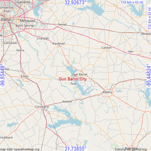
Gun Barrel City GPS coordinates[2]
32° 20' 4.524" North, 96° 9' 4.896" West
| Map corner | latitude | longitude |
|---|---|---|
| Upper-left | 32.92673°, | -96.85449° |
| Center: | 32.33459°, | -96.15136° |
| Lower-right: | 31.73855°, | -95.44824° |
| Map W x H: | 132.1×132.1 km | = 82.1×82.1mi |
| max Lat: | 71.29058° ⇑87.7% North |
| Gun Barrel City: | 32.33459° |
| min Lat: | ⇓12.3% South 19.06759° |
| min Long | Gun Barrel City | max Long |
| -171.73463° | -96.15136° | -66.98998° |
| W 26.3%⇐ | ⇒73.7% E |
Elevation
Elevation of Gun Barrel City is 117 m = 384 ft, and this is 177.8 m = 583 ft below average elevation for this country.
| Max E: |
3189 m = 10463 ft | 67.1% |
| Avg. | 294.8 m = 967 ft | |
| Gun Barrel City | 117 m = 384 ft | |
Min E: |
-60 m = -197 ft | 32.9% |
See also: United States elevation on elevation.city.
Geographical zone
Gun Barrel City is located in North temperate zone (between Tropic of Cancer and the Arctic Circle). Distance of this Northern Tropic circle is 989.4 km =614.8 mi to South.| Distance of | km | miles | from Gun Barrel City |
|---|---|---|---|
| North Pole | 6411.8 | 3984.1 | to North |
| Arctic Circle | 3805.9 | 2364.9 | to North |
| Tropic Cancer | 989.4 | 614.8 | to South |
| Equator | 3595.3 | 2234 | to South |


Nearby cities:
15 places around Gun Barrel City: (largest is in red/bold)
• Athens
31.3 km =19.4 mi,  117°
117°
• Eustace
13.9 km =8.6 mi,  102°
102°
• Kaufman
31.9 km =19.8 mi,  332°
332°
• Kemp
14.1 km =8.8 mi, 328°
• Kerens
23.5 km =14.6 mi,  197°
197°
• Log Cabin
17.4 km =10.8 mi,  135°
135°
• Mabank
5.9 km =3.7 mi,  53°
53°
• Malakoff
22.5 km =14 mi, 144°
• Oak Grove
27.3 km =17 mi,  324°
324°
• Payne Springs
10.1 km =6.3 mi,  128°
128°
• Rice
34.2 km =21.3 mi,  252°
252°
• Scurry
29.7 km =18.5 mi,  313°
313°
• Seven Points
6 km =3.7 mi, 254°
• Tool
7.6 km =4.7 mi,  193°
193°
• Trinidad
21.9 km =13.6 mi,  165°
165°
Sources, notices
• [Note1] Compared only with cities in United States existing in our database
• [Src1] Map data: © OpenStreetMap contributors (CC-BY-SA)
• [Src2] Other city data from geonames.org with taken over terms of usage.
• [Src3] Geographical zone / Annual Mean Temperature by Robert A. Rohde @ Wikipedia
