Reid Hope King Colonia geodata
Reid Hope King Colonia (Texas) is a populated place; located in United States in America/Chicago (GMT-5) time zone. With population of 786 people, there are 17935 cities with bigger population in this country. Compared to other cities in United States, 99% of cities are located further ↑North; 76.9% of cities are located further →East and 92.1% of cities have higher elevation than Reid Hope King Colonia. Note1
Current local time in Reid Hope King Colonia:
04:14 AM, TuesdayDifference from your time zone: hours


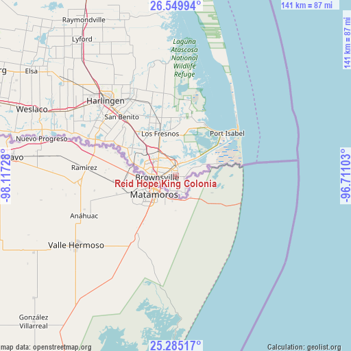
Reid Hope King Colonia GPS coordinates[2]
25° 55' 9.3" North, 97° 24' 50.94" West
| Map corner | latitude | longitude |
|---|---|---|
| Upper-left | 26.54994°, | -98.11728° |
| Center: | 25.91925°, | -97.41415° |
| Lower-right: | 25.28517°, | -96.71103° |
| Map W x H: | 140.6×140.6 km | = 87.4×87.4mi |
| max Lat: | 71.29058° ⇑99% North |
| Reid Hope King Colonia: | 25.91925° |
| min Lat: | ⇓1% South 19.06759° |
| min Long | Reid Hope King | max Long |
| -171.73463° | -97.41415° | -66.98998° |
| W 23.1%⇐ | ⇒76.9% E |
Elevation
Elevation of Reid Hope King Colonia is 12 m = 39 ft, and this is 282.8 m = 928 ft below average elevation for this country.
| Max E: |
3189 m = 10463 ft | 92.1% |
| Avg. | 294.8 m = 967 ft | |
| Reid Hope King Colonia | 12 m = 39 ft | |
Min E: |
-60 m = -197 ft | 7.9% |
See also: United States elevation on elevation.city.
Geographical zone
Reid Hope King Colonia is located in North temperate zone (between Tropic of Cancer and the Arctic Circle). Distance of this Northern Tropic circle is 276 km =171.5 mi to South.| Distance of | km | miles | from Reid Hope King Colonia |
|---|---|---|---|
| North Pole | 7125.1 | 4427.3 | to North |
| Arctic Circle | 4519.2 | 2808.1 | to North |
| Tropic Cancer | 276 | 171.5 | to South |
| Equator | 2882 | 1790.8 | to South |


Nearby cities:
15 places around Reid Hope King Colonia: (largest is in red/bold)
• Brownsville
8.6 km =5.3 mi,  256°
256°
• Cameron Park
8 km =5 mi,  308°
308°
• Cameron Park Colonia
8.7 km =5.4 mi, 312°
• Encantada-Ranchito-El Calaboz
25.3 km =15.7 mi,  300°
300°
• Indian Lake
20.9 km =13 mi,  334°
334°
• Laguna Heights
24 km =14.9 mi,  41°
41°
• Laguna Vista
23.7 km =14.7 mi,  31°
31°
• Laureles
22.6 km =14 mi,  339°
339°
• Los Fresnos
18.1 km =11.2 mi, 339°
• Olmito
16.5 km =10.3 mi, 313°
• Rancho Viejo
19.5 km =12.1 mi, 313°
• Reid Hope King
0.3 km =0.2 mi,  4°
4°
• San Pedro
19.5 km =12.1 mi,  290°
290°
• South Point
6.4 km =4 mi,  151°
151°
• Villa Pancho
3.9 km =2.4 mi,  182°
182°
Sources, notices
• [Note1] Compared only with cities in United States existing in our database
• [Src1] Map data: © OpenStreetMap contributors (CC-BY-SA)
• [Src2] Other city data from geonames.org with taken over terms of usage.
• [Src3] Geographical zone / Annual Mean Temperature by Robert A. Rohde @ Wikipedia
