Elkview geodata
Elkview (West Virginia) is a populated place; located in United States in America/New_York (GMT-4) time zone. With population of 1,222 people, there are 15001 cities with bigger population in this country. Compared to other cities in United States, 59.1% of cities are located further ↑North; 67.7% of cities are located further ←West and 53.6% of cities have higher elevation than Elkview. Note1


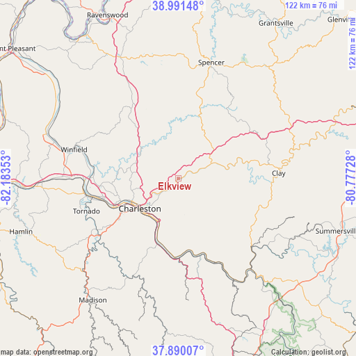
Elkview GPS coordinates[2]
38° 26' 34.368" North, 81° 28' 49.44" West
| Map corner | latitude | longitude |
|---|---|---|
| Upper-left | 38.99148°, | -82.18353° |
| Center: | 38.44288°, | -81.4804° |
| Lower-right: | 37.89007°, | -80.77728° |
| Map W x H: | 122.5×122.5 km | = 76.1×76.1mi |
| max Lat: | 71.29058° ⇑59.1% North |
| Elkview: | 38.44288° |
| min Lat: | ⇓40.9% South 19.06759° |
| min Long | Elkview | max Long |
| -171.73463° | -81.4804° | -66.98998° |
| W 67.7%⇐ | ⇒32.3% E |
Elevation
Elevation of Elkview is 185 m = 607 ft, and this is 109.8 m = 360 ft below average elevation for this country.
| Max E: |
3189 m = 10463 ft | 53.6% |
| Avg. | 294.8 m = 967 ft | |
| Elkview | 185 m = 607 ft | |
Min E: |
-60 m = -197 ft | 46.4% |
See also: United States elevation on elevation.city.
Geographical zone
Elkview is located in North temperate zone (between Tropic of Cancer and the Arctic Circle). Distance of this Northern Tropic circle is 1668.5 km =1036.8 mi to South.| Distance of | km | miles | from Elkview |
|---|---|---|---|
| North Pole | 5732.6 | 3562.1 | to North |
| Arctic Circle | 3126.7 | 1942.8 | to North |
| Tropic Cancer | 1668.5 | 1036.8 | to South |
| Equator | 4274.4 | 2656 | to South |


Nearby cities:
15 places around Elkview: (largest is in red/bold)
• Belle
24 km =14.9 mi,  192°
192°
• Big Chimney
6.4 km =4 mi,  229°
229°
• Cedar Grove
25.1 km =15.6 mi,  169°
169°
• Charleston
16.8 km =10.4 mi, 232°
• Chesapeake
24.9 km =15.5 mi, 191°
• Clendenin
12.6 km =7.8 mi,  66°
66°
• Coal Fork
14.4 km =8.9 mi, 194°
• Dunbar
24.2 km =15 mi,  247°
247°
• East Bank
25.2 km =15.7 mi, 172°
• Glasgow
25.8 km =16 mi, 169°
• Marmet
23.2 km =14.4 mi,  198°
198°
• Pinch
3.8 km =2.4 mi,  181°
181°
• Rand
19.2 km =11.9 mi, 201°
• Sissonville
16.2 km =10.1 mi,  305°
305°
• South Charleston
20.8 km =12.9 mi, 246°
Sources, notices
• [Note1] Compared only with cities in United States existing in our database
• [Src1] Map data: © OpenStreetMap contributors (CC-BY-SA)
• [Src2] Other city data from geonames.org with taken over terms of usage.
• [Src3] Geographical zone / Annual Mean Temperature by Robert A. Rohde @ Wikipedia
