Baxter geodata
Baxter (Iowa) is a populated place; located in United States in America/Chicago (GMT-5) time zone. With population of 1,103 people, there are 15658 cities with bigger population in this country. Compared to other cities in United States, 74.1% of cities are located further ↓South; 66.6% of cities are located further →East and 73.8% of cities have lower elevation than Baxter. Note1


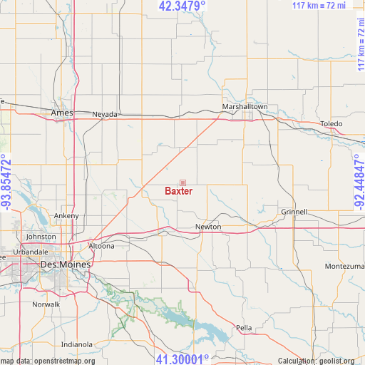
Baxter GPS coordinates[2]
41° 49' 33.96" North, 93° 9' 5.724" West
| Map corner | latitude | longitude |
|---|---|---|
| Upper-left | 42.3479°, | -93.85472° |
| Center: | 41.8261°, | -93.15159° |
| Lower-right: | 41.30001°, | -92.44847° |
| Map W x H: | 116.5×116.5 km | = 72.4×72.4mi |
| max Lat: | 71.29058° ⇑25.9% North |
| Baxter: | 41.8261° |
| min Lat: | ⇓74.1% South 19.06759° |
| min Long | Baxter | max Long |
| -171.73463° | -93.15159° | -66.98998° |
| W 33.4%⇐ | ⇒66.6% E |
Elevation
Elevation of Baxter is 306 m = 1004 ft, and this is 11.2 m = 37 ft above average elevation for this country.
| Max E: |
3189 m = 10463 ft | 26.2% |
| Baxter | 306 m 1004 ft | |
| Avg. | 294.8 m = 967 ft | |
Min E: |
-60 m = -197 ft | 73.8% |
See also: United States elevation on elevation.city.
Geographical zone
Baxter is located in North temperate zone (between Tropic of Cancer and the Arctic Circle). Distance of this Northern Tropic circle is 2044.7 km =1270.5 mi to South.| Distance of | km | miles | from Baxter |
|---|---|---|---|
| North Pole | 5356.4 | 3328.3 | to North |
| Arctic Circle | 2750.5 | 1709.1 | to North |
| Tropic Cancer | 2044.7 | 1270.5 | to South |
| Equator | 4650.6 | 2889.7 | to South |


Nearby cities:
15 places around Baxter: (largest is in red/bold)
• Altoona
32.9 km =20.4 mi,  232°
232°
• Bondurant
29.3 km =18.2 mi,  241°
241°
• Cambridge
32.3 km =20.1 mi,  284°
284°
• Colfax
18.2 km =11.3 mi,  205°
205°
• Colo
25.2 km =15.7 mi,  327°
327°
• Elkhart
30.9 km =19.2 mi,  262°
262°
• Gilman
30.6 km =19 mi,  78°
78°
• Kellogg
23.5 km =14.6 mi,  120°
120°
• Marshalltown
32 km =19.9 mi,  39°
39°
• Maxwell
21.8 km =13.5 mi,  289°
289°
• Melbourne
13.4 km =8.3 mi,  17°
17°
• Mitchellville
24.5 km =15.2 mi,  224°
224°
• Newton
16.5 km =10.3 mi,  148°
148°
• Prairie City
26.1 km =16.2 mi,  195°
195°
• State Center
21.2 km =13.2 mi,  357°
357°
Sources, notices
• [Note1] Compared only with cities in United States existing in our database
• [Src1] Map data: © OpenStreetMap contributors (CC-BY-SA)
• [Src2] Other city data from geonames.org with taken over terms of usage.
• [Src3] Geographical zone / Annual Mean Temperature by Robert A. Rohde @ Wikipedia
