Colfax geodata
Colfax (Iowa) is a populated place; located in United States in America/Chicago (GMT-5) time zone. With population of 2,051 people, there are 11787 cities with bigger population in this country. Compared to other cities in United States, 72.7% of cities are located further ↓South; 66.9% of cities are located further →East and 61.2% of cities have lower elevation than Colfax. Note1


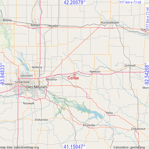
Colfax GPS coordinates[2]
41° 40' 39.972" North, 93° 14' 42.72" West
| Map corner | latitude | longitude |
|---|---|---|
| Upper-left | 42.20079°, | -93.94833° |
| Center: | 41.67777°, | -93.2452° |
| Lower-right: | 41.15047°, | -92.54208° |
| Map W x H: | 116.8×116.8 km | = 72.6×72.6mi |
| max Lat: | 71.29058° ⇑27.3% North |
| Colfax: | 41.67777° |
| min Lat: | ⇓72.7% South 19.06759° |
| min Long | Colfax | max Long |
| -171.73463° | -93.2452° | -66.98998° |
| W 33.1%⇐ | ⇒66.9% E |
Elevation
Elevation of Colfax is 245 m = 804 ft, and this is 49.8 m = 163 ft below average elevation for this country.
| Max E: |
3189 m = 10463 ft | 38.8% |
| Avg. | 294.8 m = 967 ft | |
| Colfax | 245 m = 804 ft | |
Min E: |
-60 m = -197 ft | 61.2% |
See also: United States elevation on elevation.city.
Geographical zone
Colfax is located in North temperate zone (between Tropic of Cancer and the Arctic Circle). Distance of this Northern Tropic circle is 2028.2 km =1260.3 mi to South.| Distance of | km | miles | from Colfax |
|---|---|---|---|
| North Pole | 5372.9 | 3338.6 | to North |
| Arctic Circle | 2767 | 1719.3 | to North |
| Tropic Cancer | 2028.2 | 1260.3 | to South |
| Equator | 4634.1 | 2879.5 | to South |


Nearby cities:
15 places around Colfax: (largest is in red/bold)
• Altoona
18.6 km =11.6 mi,  258°
258°
• Ankeny
30.5 km =19 mi,  280°
280°
• Baxter
18.2 km =11.3 mi,  25°
25°
• Bondurant
18.2 km =11.3 mi, 277°
• Carlisle
28.4 km =17.6 mi,  226°
226°
• Elkhart
26.2 km =16.3 mi,  298°
298°
• Hartford
27.7 km =17.2 mi,  208°
208°
• Kellogg
28.4 km =17.6 mi,  80°
80°
• Maxwell
27 km =16.8 mi,  331°
331°
• Mitchellville
9.4 km =5.8 mi, 263°
• Monroe
21 km =13 mi,  145°
145°
• Newton
16.6 km =10.3 mi, 81°
• Pleasant Hill
25.1 km =15.6 mi,  245°
245°
• Prairie City
8.8 km =5.5 mi,  174°
174°
• Runnells
20.7 km =12.9 mi, 206°
Sources, notices
• [Note1] Compared only with cities in United States existing in our database
• [Src1] Map data: © OpenStreetMap contributors (CC-BY-SA)
• [Src2] Other city data from geonames.org with taken over terms of usage.
• [Src3] Geographical zone / Annual Mean Temperature by Robert A. Rohde @ Wikipedia
