Monee geodata
Monee (Illinois) is a populated place; located in United States in America/Chicago (GMT-5) time zone. With population of 5,082 people, there are 7097 cities with bigger population in this country. Compared to other cities in United States, 69.9% of cities are located further ↓South; 51.7% of cities are located further →East and 62.1% of cities have lower elevation than Monee. Note1


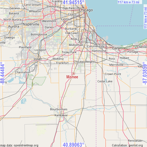
Monee GPS coordinates[2]
41° 25' 12.108" North, 87° 44' 30.156" West
| Map corner | latitude | longitude |
|---|---|---|
| Upper-left | 41.94515°, | -88.44484° |
| Center: | 41.42003°, | -87.74171° |
| Lower-right: | 40.89063°, | -87.03859° |
| Map W x H: | 117.3×117.3 km | = 72.9×72.9mi |
| max Lat: | 71.29058° ⇑30.1% North |
| Monee: | 41.42003° |
| min Lat: | ⇓69.9% South 19.06759° |
| min Long | Monee | max Long |
| -171.73463° | -87.74171° | -66.98998° |
| W 48.3%⇐ | ⇒51.7% E |
Elevation
Elevation of Monee is 249 m = 817 ft, and this is 45.8 m = 150 ft below average elevation for this country.
| Max E: |
3189 m = 10463 ft | 37.9% |
| Avg. | 294.8 m = 967 ft | |
| Monee | 249 m = 817 ft | |
Min E: |
-60 m = -197 ft | 62.1% |
See also: United States elevation on elevation.city.
Geographical zone
Monee is located in North temperate zone (between Tropic of Cancer and the Arctic Circle). Distance of this Northern Tropic circle is 1999.6 km =1242.5 mi to South.| Distance of | km | miles | from Monee |
|---|---|---|---|
| North Pole | 5401.6 | 3356.4 | to North |
| Arctic Circle | 2795.7 | 1737.2 | to North |
| Tropic Cancer | 1999.6 | 1242.5 | to South |
| Equator | 4605.5 | 2861.7 | to South |


Nearby cities:
15 places around Monee: (largest is in red/bold)
• Beecher
13.4 km =8.3 mi,  131°
131°
• Chicago Heights
13 km =8.1 mi,  42°
42°
• Crete
9.6 km =6 mi,  73°
73°
• Flossmoor
14.5 km =9 mi,  19°
19°
• Ford Heights
15.8 km =9.8 mi,  52°
52°
• Frankfort
12.3 km =7.6 mi,  313°
313°
• Frankfort Square
12.1 km =7.5 mi,  335°
335°
• Matteson
9.6 km =6 mi,  14°
14°
• Olympia Fields
11.8 km =7.3 mi,  28°
28°
• Park Forest
9.7 km =6 mi, 35°
• Peotone
10.4 km =6.5 mi,  200°
200°
• Richton Park
7.8 km =4.8 mi, 24°
• South Chicago Heights
11 km =6.8 mi, 51°
• Steger
10.4 km =6.5 mi,  57°
57°
• University Park
5.5 km =3.4 mi, 62°
Sources, notices
• [Note1] Compared only with cities in United States existing in our database
• [Src1] Map data: © OpenStreetMap contributors (CC-BY-SA)
• [Src2] Other city data from geonames.org with taken over terms of usage.
• [Src3] Geographical zone / Annual Mean Temperature by Robert A. Rohde @ Wikipedia
