Whiting geodata
Whiting (Indiana) is a populated place; located in United States in America/Chicago (GMT-5) time zone. With population of 4,872 people, there are 7292 cities with bigger population in this country. Compared to other cities in United States, 72.7% of cities are located further ↓South; 50.8% of cities are located further →East and 54.5% of cities have higher elevation than Whiting. Note1


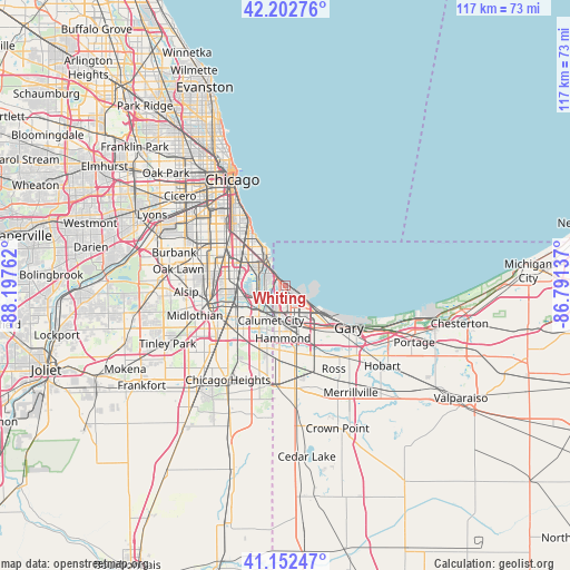
Whiting GPS coordinates[2]
41° 40' 47.136" North, 87° 29' 40.164" West
| Map corner | latitude | longitude |
|---|---|---|
| Upper-left | 42.20276°, | -88.19762° |
| Center: | 41.67976°, | -87.49449° |
| Lower-right: | 41.15247°, | -86.79137° |
| Map W x H: | 116.8×116.8 km | = 72.6×72.6mi |
| max Lat: | 71.29058° ⇑27.3% North |
| Whiting: | 41.67976° |
| min Lat: | ⇓72.7% South 19.06759° |
| min Long | Whiting | max Long |
| -171.73463° | -87.49449° | -66.98998° |
| W 49.2%⇐ | ⇒50.8% E |
Elevation
Elevation of Whiting is 182 m = 597 ft, and this is 112.8 m = 370 ft below average elevation for this country.
| Max E: |
3189 m = 10463 ft | 54.5% |
| Avg. | 294.8 m = 967 ft | |
| Whiting | 182 m = 597 ft | |
Min E: |
-60 m = -197 ft | 45.5% |
See also: United States elevation on elevation.city.
Geographical zone
Whiting is located in North temperate zone (between Tropic of Cancer and the Arctic Circle). Distance of this Northern Tropic circle is 2028.4 km =1260.4 mi to South.| Distance of | km | miles | from Whiting |
|---|---|---|---|
| North Pole | 5372.7 | 3338.4 | to North |
| Arctic Circle | 2766.8 | 1719.2 | to North |
| Tropic Cancer | 2028.4 | 1260.4 | to South |
| Equator | 4634.4 | 2879.7 | to South |


Nearby cities:
15 places around Whiting: (largest is in red/bold)
• Burnham
6.9 km =4.3 mi,  228°
228°
• Calumet City
7.7 km =4.8 mi,  202°
202°
• Calumet Park
13.9 km =8.6 mi,  262°
262°
• Chatham
11.9 km =7.4 mi,  304°
304°
• Dolton
10.4 km =6.5 mi,  244°
244°
• East Chicago
5.6 km =3.5 mi,  143°
143°
• Greater Grand Crossing
13.5 km =8.4 mi,  312°
312°
• Hammond
10.7 km =6.6 mi,  182°
182°
• Lansing
13.3 km =8.3 mi, 196°
• Munster
12.9 km =8 mi,  186°
186°
• Phoenix
13.9 km =8.6 mi, 236°
• Riverdale
12.6 km =7.8 mi,  245°
245°
• South Chicago
8.3 km =5.2 mi,  323°
323°
• South Holland
12.8 km =8 mi, 226°
• South Shore
11.5 km =7.1 mi, 322°
Sources, notices
• [Note1] Compared only with cities in United States existing in our database
• [Src1] Map data: © OpenStreetMap contributors (CC-BY-SA)
• [Src2] Other city data from geonames.org with taken over terms of usage.
• [Src3] Geographical zone / Annual Mean Temperature by Robert A. Rohde @ Wikipedia
