Auburn geodata
Auburn (Massachusetts) is a populated place; located in United States in America/New_York (GMT-4) time zone. With population of 16,724 people, there are 2937 cities with bigger population in this country. Compared to other cities in United States, 77.3% of cities are located further ↓South; 96% of cities are located further ←West and 52.5% of cities have higher elevation than Auburn. Note1
Administrative division(s):
- Level 1: Massachusetts
- Level 2: Worcester County
- Level 3: Town of Auburn


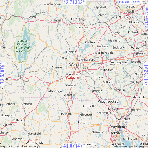
Auburn GPS coordinates[2]
42° 11' 40.344" North, 71° 50' 8.268" West
| Map corner | latitude | longitude |
|---|---|---|
| Upper-left | 42.71332°, | -72.53876° |
| Center: | 42.19454°, | -71.83563° |
| Lower-right: | 41.67147°, | -71.13251° |
| Map W x H: | 115.8×115.8 km | = 72×72mi |
| max Lat: | 71.29058° ⇑22.7% North |
| Auburn: | 42.19454° |
| min Lat: | ⇓77.3% South 19.06759° |
| min Long | Auburn | max Long |
| -171.73463° | -71.83563° | -66.98998° |
| W 96%⇐ | ⇒4% E |
Elevation
Elevation of Auburn is 189 m = 620 ft, and this is 105.8 m = 347 ft below average elevation for this country.
| Max E: |
3189 m = 10463 ft | 52.5% |
| Avg. | 294.8 m = 967 ft | |
| Auburn | 189 m = 620 ft | |
Min E: |
-60 m = -197 ft | 47.5% |
See also: United States elevation on elevation.city.
Geographical zone
Auburn is located in North temperate zone (between Tropic of Cancer and the Arctic Circle). Distance of this Northern Tropic circle is 2085.7 km =1296 mi to South.| Distance of | km | miles | from Auburn |
|---|---|---|---|
| North Pole | 5315.5 | 3302.9 | to North |
| Arctic Circle | 2709.6 | 1683.7 | to North |
| Tropic Cancer | 2085.7 | 1296 | to South |
| Equator | 4691.6 | 2915.2 | to South |


Nearby cities:
15 places around Auburn: (largest is in red/bold)
• Charlton
12.9 km =8 mi,  239°
239°
• Grafton
12.4 km =7.7 mi,  83°
83°
• Hamilton Worcester
8.9 km =5.5 mi,  39°
39°
• Leicester
8.3 km =5.2 mi,  313°
313°
• Millbury
6.2 km =3.9 mi,  90°
90°
• Northbridge
16.1 km =10 mi,  107°
107°
• Oxford
9 km =5.6 mi,  195°
195°
• Paxton
15 km =9.3 mi,  329°
329°
• Shrewsbury
15.1 km =9.4 mi, 41°
• Spencer
14 km =8.7 mi,  293°
293°
• Sunderland
7.7 km =4.8 mi, 43°
• Sutton
7.8 km =4.8 mi,  129°
129°
• Webster
16.5 km =10.3 mi,  192°
192°
• Whitinsville
16.8 km =10.4 mi,  123°
123°
• Worcester
8 km =5 mi,  19°
19°
Sources, notices
• [Note1] Compared only with cities in United States existing in our database
• [Src1] Map data: © OpenStreetMap contributors (CC-BY-SA)
• [Src2] Other city data from geonames.org with taken over terms of usage.
• [Src3] Geographical zone / Annual Mean Temperature by Robert A. Rohde @ Wikipedia
