Croswell geodata
Croswell (Michigan) is a populated place; located in United States in America/Detroit (GMT-4) time zone. With population of 2,338 people, there are 10998 cities with bigger population in this country. Compared to other cities in United States, 85.2% of cities are located further ↓South; 63.2% of cities are located further ←West and 56.7% of cities have lower elevation than Croswell. Note1


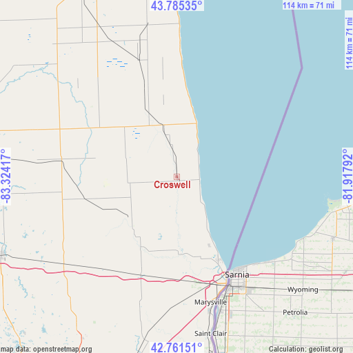
Croswell GPS coordinates[2]
43° 16' 32.088" North, 82° 37' 15.744" West
| Map corner | latitude | longitude |
|---|---|---|
| Upper-left | 43.78535°, | -83.32417° |
| Center: | 43.27558°, | -82.62104° |
| Lower-right: | 42.76151°, | -81.91792° |
| Map W x H: | 113.8×113.8 km | = 70.7×70.7mi |
| max Lat: | 71.29058° ⇑14.8% North |
| Croswell: | 43.27558° |
| min Lat: | ⇓85.2% South 19.06759° |
| min Long | Croswell | max Long |
| -171.73463° | -82.62104° | -66.98998° |
| W 63.2%⇐ | ⇒36.8% E |
Elevation
Elevation of Croswell is 225 m = 738 ft, and this is 69.8 m = 229 ft below average elevation for this country.
| Max E: |
3189 m = 10463 ft | 43.3% |
| Avg. | 294.8 m = 967 ft | |
| Croswell | 225 m = 738 ft | |
Min E: |
-60 m = -197 ft | 56.7% |
See also: United States elevation on elevation.city.
Geographical zone
Croswell is located in North temperate zone (between Tropic of Cancer and the Arctic Circle). Distance of this Northern Tropic circle is 2205.9 km =1370.7 mi to South.| Distance of | km | miles | from Croswell |
|---|---|---|---|
| North Pole | 5195.3 | 3228.2 | to North |
| Arctic Circle | 2589.4 | 1609 | to North |
| Tropic Cancer | 2205.9 | 1370.7 | to South |
| Equator | 4811.8 | 2989.9 | to South |


Nearby cities:
15 places around Croswell: (largest is in red/bold)
• Brown City
30.7 km =19.1 mi,  256°
256°
• Capac
38.4 km =23.9 mi,  220°
220°
• Carsonville
17.3 km =10.7 mi,  346°
346°
• Deckerville
29.4 km =18.3 mi,  341°
341°
• Imlay City
46.4 km =28.8 mi,  233°
233°
• Lexington
7.4 km =4.6 mi,  96°
96°
• Marlette
37.6 km =23.4 mi,  278°
278°
• Marysville
41.8 km =26 mi,  164°
164°
• Memphis
43.8 km =27.2 mi,  195°
195°
• North Branch
46.9 km =29.1 mi, 263°
• Peck
16 km =9.9 mi, 263°
• Port Huron
37.4 km =23.2 mi,  154°
154°
• Port Sanilac
18.4 km =11.4 mi,  20°
20°
• Sandusky
23.3 km =14.5 mi,  313°
313°
• Yale
21.6 km =13.4 mi, 221°
Sources, notices
• [Note1] Compared only with cities in United States existing in our database
• [Src1] Map data: © OpenStreetMap contributors (CC-BY-SA)
• [Src2] Other city data from geonames.org with taken over terms of usage.
• [Src3] Geographical zone / Annual Mean Temperature by Robert A. Rohde @ Wikipedia
