Yale geodata
Yale (Michigan) is a populated place; located in United States in America/Detroit (GMT-4) time zone. With population of 1,905 people, there are 12216 cities with bigger population in this country. Compared to other cities in United States, 84.3% of cities are located further ↓South; 62.6% of cities are located further ←West and 60.3% of cities have lower elevation than Yale. Note1


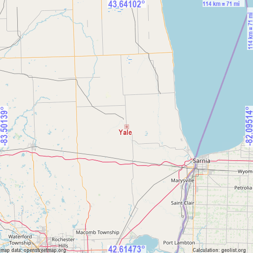
Yale GPS coordinates[2]
43° 7' 48.108" North, 82° 47' 53.736" West
| Map corner | latitude | longitude |
|---|---|---|
| Upper-left | 43.64102°, | -83.50139° |
| Center: | 43.13003°, | -82.79826° |
| Lower-right: | 42.61473°, | -82.09514° |
| Map W x H: | 114.1×114.1 km | = 70.9×70.9mi |
| max Lat: | 71.29058° ⇑15.7% North |
| Yale: | 43.13003° |
| min Lat: | ⇓84.3% South 19.06759° |
| min Long | Yale | max Long |
| -171.73463° | -82.79826° | -66.98998° |
| W 62.6%⇐ | ⇒37.4% E |
Elevation
Elevation of Yale is 241 m = 791 ft, and this is 53.8 m = 177 ft below average elevation for this country.
| Max E: |
3189 m = 10463 ft | 39.7% |
| Avg. | 294.8 m = 967 ft | |
| Yale | 241 m = 791 ft | |
Min E: |
-60 m = -197 ft | 60.3% |
See also: United States elevation on elevation.city.
Geographical zone
Yale is located in North temperate zone (between Tropic of Cancer and the Arctic Circle). Distance of this Northern Tropic circle is 2189.7 km =1360.6 mi to South.| Distance of | km | miles | from Yale |
|---|---|---|---|
| North Pole | 5211.5 | 3238.3 | to North |
| Arctic Circle | 2605.6 | 1619 | to North |
| Tropic Cancer | 2189.7 | 1360.6 | to South |
| Equator | 4795.6 | 2979.8 | to South |


Nearby cities:
15 places around Yale: (largest is in red/bold)
• Almont
30.7 km =19.1 mi,  220°
220°
• Armada
32.5 km =20.2 mi,  192°
192°
• Attica
31.9 km =19.8 mi,  249°
249°
• Brown City
18 km =11.2 mi,  300°
300°
• Capac
16.8 km =10.4 mi, 218°
• Carsonville
34.6 km =21.5 mi,  17°
17°
• Croswell
21.6 km =13.4 mi,  41°
41°
• Dryden
33.4 km =20.8 mi,  232°
232°
• Imlay City
25.5 km =15.8 mi,  242°
242°
• Lexington
26.6 km =16.5 mi,  54°
54°
• Marlette
31.6 km =19.6 mi,  313°
313°
• Memphis
26.1 km =16.2 mi,  174°
174°
• North Branch
34.1 km =21.2 mi,  288°
288°
• Peck
14.4 km =8.9 mi,  353°
353°
• Sandusky
32.4 km =20.1 mi,  355°
355°
Sources, notices
• [Note1] Compared only with cities in United States existing in our database
• [Src1] Map data: © OpenStreetMap contributors (CC-BY-SA)
• [Src2] Other city data from geonames.org with taken over terms of usage.
• [Src3] Geographical zone / Annual Mean Temperature by Robert A. Rohde @ Wikipedia
