Onsted geodata
Onsted (Michigan) is a populated place; located in United States in America/Detroit (GMT-4) time zone. With population of 904 people, there are 16951 cities with bigger population in this country. Compared to other cities in United States, 75.8% of cities are located further ↓South; 58.7% of cities are located further ←West and 73.3% of cities have lower elevation than Onsted. Note1
Administrative division(s):
- Level 1: Michigan
- Level 2: Lenawee County
- Level 3: Township of Cambridge


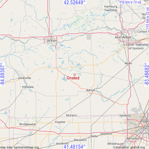
Onsted GPS coordinates[2]
42° 0' 22.176" North, 84° 11' 23.784" West
| Map corner | latitude | longitude |
|---|---|---|
| Upper-left | 42.52649°, | -84.89307° |
| Center: | 42.00616°, | -84.18994° |
| Lower-right: | 41.48154°, | -83.48682° |
| Map W x H: | 116.2×116.2 km | = 72.2×72.2mi |
| max Lat: | 71.29058° ⇑24.2% North |
| Onsted: | 42.00616° |
| min Lat: | ⇓75.8% South 19.06759° |
| min Long | Onsted | max Long |
| -171.73463° | -84.18994° | -66.98998° |
| W 58.7%⇐ | ⇒41.3% E |
Elevation
Elevation of Onsted is 303 m = 994 ft, and this is 8.2 m = 27 ft above average elevation for this country.
| Max E: |
3189 m = 10463 ft | 26.7% |
| Onsted | 303 m 994 ft | |
| Avg. | 294.8 m = 967 ft | |
Min E: |
-60 m = -197 ft | 73.3% |
See also: United States elevation on elevation.city.
Geographical zone
Onsted is located in North temperate zone (between Tropic of Cancer and the Arctic Circle). Distance of this Northern Tropic circle is 2064.7 km =1282.9 mi to South.| Distance of | km | miles | from Onsted |
|---|---|---|---|
| North Pole | 5336.4 | 3315.9 | to North |
| Arctic Circle | 2730.5 | 1696.7 | to North |
| Tropic Cancer | 2064.7 | 1282.9 | to South |
| Equator | 4670.6 | 2902.2 | to South |


Nearby cities:
15 places around Onsted: (largest is in red/bold)
• Addison
13.2 km =8.2 mi,  260°
260°
• Adrian
17.5 km =10.9 mi,  133°
133°
• Britton
29.7 km =18.5 mi,  94°
94°
• Brooklyn
12.1 km =7.5 mi,  336°
336°
• Clinton
19.5 km =12.1 mi,  67°
67°
• Grass Lake
27.3 km =17 mi,  356°
356°
• Hudson
21.6 km =13.4 mi,  218°
218°
• Jackson
31.8 km =19.8 mi,  326°
326°
• Manchester
20.4 km =12.7 mi,  38°
38°
• Manitou Beach-Devils Lake
8.6 km =5.3 mi,  246°
246°
• Michigan Center
27.7 km =17.2 mi, 335°
• Morenci
32 km =19.9 mi,  184°
184°
• Napoleon
17.8 km =11.1 mi, 344°
• Tecumseh
20.2 km =12.6 mi, 90°
• Vandercook Lake
26.6 km =16.5 mi,  321°
321°
Sources, notices
• [Note1] Compared only with cities in United States existing in our database
• [Src1] Map data: © OpenStreetMap contributors (CC-BY-SA)
• [Src2] Other city data from geonames.org with taken over terms of usage.
• [Src3] Geographical zone / Annual Mean Temperature by Robert A. Rohde @ Wikipedia
