Mayer geodata
Mayer (Minnesota) is a populated place; located in United States in America/Chicago (GMT-5) time zone. With population of 1,903 people, there are 12223 cities with bigger population in this country. Compared to other cities in United States, 92% of cities are located further ↓South; 68.4% of cities are located further →East and 71.7% of cities have lower elevation than Mayer. Note1


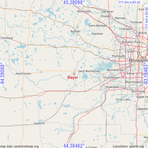
Mayer GPS coordinates[2]
44° 53' 5.856" North, 93° 53' 15.9" West
| Map corner | latitude | longitude |
|---|---|---|
| Upper-left | 45.38098°, | -94.59088° |
| Center: | 44.88496°, | -93.88775° |
| Lower-right: | 44.38462°, | -93.18463° |
| Map W x H: | 110.8×110.8 km | = 68.8×68.8mi |
| max Lat: | 71.29058° ⇑8% North |
| Mayer: | 44.88496° |
| min Lat: | ⇓92% South 19.06759° |
| min Long | Mayer | max Long |
| -171.73463° | -93.88775° | -66.98998° |
| W 31.6%⇐ | ⇒68.4% E |
Elevation
Elevation of Mayer is 294 m = 965 ft, and this is 0.80000000000001 m = 3 ft below average elevation for this country.
| Max E: |
3189 m = 10463 ft | 28.3% |
| Avg. | 294.8 m = 967 ft | |
| Mayer | 294 m = 965 ft | |
Min E: |
-60 m = -197 ft | 71.7% |
See also: United States elevation on elevation.city.
Geographical zone
Mayer is located in North temperate zone (between Tropic of Cancer and the Arctic Circle). Distance of this Northern Tropic circle is 2384.8 km =1481.8 mi to South.| Distance of | km | miles | from Mayer |
|---|---|---|---|
| North Pole | 5016.3 | 3117 | to North |
| Arctic Circle | 2410.4 | 1497.8 | to North |
| Tropic Cancer | 2384.8 | 1481.8 | to South |
| Equator | 4990.7 | 3101.1 | to South |


Nearby cities:
15 places around Mayer: (largest is in red/bold)
• Cologne
15.1 km =9.4 mi,  146°
146°
• Delano
19.1 km =11.9 mi,  23°
23°
• Hamburg
18 km =11.2 mi,  200°
200°
• Lester Prairie
12.1 km =7.5 mi,  269°
269°
• Minnetrista
14.6 km =9.1 mi,  66°
66°
• Montrose
20.1 km =12.5 mi,  354°
354°
• Mound
18.4 km =11.4 mi, 71°
• Norwood (historical)
13.4 km =8.3 mi,  193°
193°
• Norwood Young America
12.7 km =7.9 mi, 192°
• Saint Bonifacius
11.3 km =7 mi,  78°
78°
• Victoria
18.1 km =11.2 mi,  99°
99°
• Waconia
8.8 km =5.5 mi,  115°
115°
• Watertown
9.3 km =5.8 mi, 20°
• Winsted
15.3 km =9.5 mi,  304°
304°
• Young America (historical)
11.5 km =7.1 mi, 190°
Sources, notices
• [Note1] Compared only with cities in United States existing in our database
• [Src1] Map data: © OpenStreetMap contributors (CC-BY-SA)
• [Src2] Other city data from geonames.org with taken over terms of usage.
• [Src3] Geographical zone / Annual Mean Temperature by Robert A. Rohde @ Wikipedia
