Middletown geodata
Middletown (New York) is a populated place; located in United States in America/New_York (GMT-4) time zone. With population of 27,812 people, there are 1804 cities with bigger population in this country. Compared to other cities in United States, 70.2% of cities are located further ↓South; 88.7% of cities are located further ←West and 56.9% of cities have higher elevation than Middletown. Note1


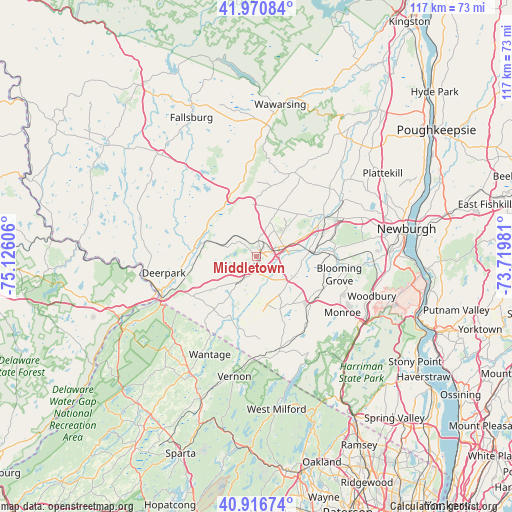
Middletown GPS coordinates[2]
41° 26' 45.348" North, 74° 25' 22.548" West
| Map corner | latitude | longitude |
|---|---|---|
| Upper-left | 41.97084°, | -75.12606° |
| Center: | 41.44593°, | -74.42293° |
| Lower-right: | 40.91674°, | -73.71981° |
| Map W x H: | 117.2×117.2 km | = 72.8×72.8mi |
| max Lat: | 71.29058° ⇑29.8% North |
| Middletown: | 41.44593° |
| min Lat: | ⇓70.2% South 19.06759° |
| min Long | Middletown | max Long |
| -171.73463° | -74.42293° | -66.98998° |
| W 88.7%⇐ | ⇒11.3% E |
Elevation
Elevation of Middletown is 171 m = 561 ft, and this is 123.8 m = 406 ft below average elevation for this country.
| Max E: |
3189 m = 10463 ft | 56.9% |
| Avg. | 294.8 m = 967 ft | |
| Middletown | 171 m = 561 ft | |
Min E: |
-60 m = -197 ft | 43.1% |
See also: United States elevation on elevation.city.
Geographical zone
Middletown is located in North temperate zone (between Tropic of Cancer and the Arctic Circle). Distance of this Northern Tropic circle is 2002.4 km =1244.2 mi to South.| Distance of | km | miles | from Middletown |
|---|---|---|---|
| North Pole | 5398.7 | 3354.6 | to North |
| Arctic Circle | 2792.8 | 1735.4 | to North |
| Tropic Cancer | 2002.4 | 1244.2 | to South |
| Equator | 4608.4 | 2863.5 | to South |


Nearby cities:
15 places around Middletown: (largest is in red/bold)
• Chester
15.7 km =9.8 mi,  126°
126°
• Eden
18.5 km =11.5 mi,  198°
198°
• Florida
13.8 km =8.6 mi,  156°
156°
• Goshen
9.6 km =6 mi,  120°
120°
• Maybrook
17.6 km =10.9 mi,  76°
76°
• Mechanicstown
2.9 km =1.8 mi,  96°
96°
• Montgomery
18 km =11.2 mi,  59°
59°
• Otisville
10.1 km =6.3 mi,  287°
287°
• Pine Bush
20.8 km =12.9 mi,  29°
29°
• Scotchtown
6.6 km =4.1 mi,  52°
52°
• Unionville
19.7 km =12.2 mi,  215°
215°
• Walker Valley
21.2 km =13.2 mi,  10°
10°
• Washington Heights
2.8 km =1.7 mi, 12°
• Washingtonville
21.5 km =13.4 mi, 95°
• Wurtsboro
15.5 km =9.6 mi,  339°
339°
Sources, notices
• [Note1] Compared only with cities in United States existing in our database
• [Src1] Map data: © OpenStreetMap contributors (CC-BY-SA)
• [Src2] Other city data from geonames.org with taken over terms of usage.
• [Src3] Geographical zone / Annual Mean Temperature by Robert A. Rohde @ Wikipedia
