Westons Mills geodata
Westons Mills (New York) is a populated place; located in United States in America/New_York (GMT-4) time zone. With population of 1,750 people, there are 12737 cities with bigger population in this country. Compared to other cities in United States, 76.2% of cities are located further ↓South; 77.2% of cities are located further ←West and 85.9% of cities have lower elevation than Westons Mills. Note1
Administrative division(s):
- Level 1: New York
- Level 2: Cattaraugus County
- Level 3: Town of Portville


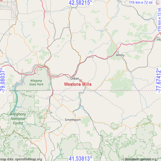
Westons Mills GPS coordinates[2]
42° 3' 44.244" North, 78° 22' 38.064" West
| Map corner | latitude | longitude |
|---|---|---|
| Upper-left | 42.58215°, | -79.08037° |
| Center: | 42.06229°, | -78.37724° |
| Lower-right: | 41.53813°, | -77.67412° |
| Map W x H: | 116.1×116.1 km | = 72.1×72.1mi |
| max Lat: | 71.29058° ⇑23.8% North |
| Westons Mills: | 42.06229° |
| min Lat: | ⇓76.2% South 19.06759° |
| min Long | Westons Mills | max Long |
| -171.73463° | -78.37724° | -66.98998° |
| W 77.2%⇐ | ⇒22.8% E |
Elevation
Elevation of Westons Mills is 443 m = 1453 ft, and this is 148.2 m = 486 ft above average elevation for this country.
| Max E: |
3189 m = 10463 ft | 14.1% |
| Westons Mills | 443 m 1453 ft | |
| Avg. | 294.8 m = 967 ft | |
Min E: |
-60 m = -197 ft | 85.9% |
See also: United States elevation on elevation.city.
Geographical zone
Westons Mills is located in North temperate zone (between Tropic of Cancer and the Arctic Circle). Distance of this Northern Tropic circle is 2071 km =1286.9 mi to South.| Distance of | km | miles | from Westons Mills |
|---|---|---|---|
| North Pole | 5330.2 | 3312 | to North |
| Arctic Circle | 2724.3 | 1692.8 | to North |
| Tropic Cancer | 2071 | 1286.9 | to South |
| Equator | 4676.9 | 2906.1 | to South |


Nearby cities:
15 places around Westons Mills: (largest is in red/bold)
• Allegany
10.1 km =6.3 mi,  287°
287°
• Alma
27 km =16.8 mi,  101°
101°
• Bolivar
17.3 km =10.7 mi,  88°
88°
• Bradford
25 km =15.5 mi,  241°
241°
• Cuba
19.2 km =11.9 mi,  25°
25°
• Eldred
11.6 km =7.2 mi,  183°
183°
• Foster Brook
22.1 km =13.7 mi, 243°
• Friendship
25.4 km =15.8 mi,  50°
50°
• Lyndon
27.1 km =16.8 mi,  4°
4°
• Olean
4.7 km =2.9 mi, 291°
• Portville
4 km =2.5 mi,  131°
131°
• Saint Bonaventure
8.3 km =5.2 mi,  283°
283°
• Shinglehouse
18.9 km =11.7 mi, 125°
• Smethport
28.5 km =17.7 mi,  191°
191°
• Weston Mills
1.6 km =1 mi,  14°
14°
Sources, notices
• [Note1] Compared only with cities in United States existing in our database
• [Src1] Map data: © OpenStreetMap contributors (CC-BY-SA)
• [Src2] Other city data from geonames.org with taken over terms of usage.
• [Src3] Geographical zone / Annual Mean Temperature by Robert A. Rohde @ Wikipedia
