Bainbridge geodata
Bainbridge (Ohio) is a populated place; located in United States in America/New_York (GMT-4) time zone. With population of 3,267 people, there are 9201 cities with bigger population in this country. Compared to other cities in United States, 69.6% of cities are located further ↓South; 68.4% of cities are located further ←West and 80.5% of cities have lower elevation than Bainbridge. Note1


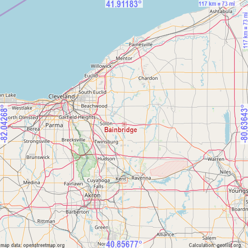
Bainbridge GPS coordinates[2]
41° 23' 11.184" North, 81° 20' 22.38" West
| Map corner | latitude | longitude |
|---|---|---|
| Upper-left | 41.91183°, | -82.04268° |
| Center: | 41.38644°, | -81.33955° |
| Lower-right: | 40.85677°, | -80.63643° |
| Map W x H: | 117.3×117.3 km | = 72.9×72.9mi |
| max Lat: | 71.29058° ⇑30.4% North |
| Bainbridge: | 41.38644° |
| min Lat: | ⇓69.6% South 19.06759° |
| min Long | Bainbridge | max Long |
| -171.73463° | -81.33955° | -66.98998° |
| W 68.4%⇐ | ⇒31.6% E |
Elevation
Elevation of Bainbridge is 358 m = 1175 ft, and this is 63.2 m = 207 ft above average elevation for this country.
| Max E: |
3189 m = 10463 ft | 19.5% |
| Bainbridge | 358 m 1175 ft | |
| Avg. | 294.8 m = 967 ft | |
Min E: |
-60 m = -197 ft | 80.5% |
See also: United States elevation on elevation.city.
Geographical zone
Bainbridge is located in North temperate zone (between Tropic of Cancer and the Arctic Circle). Distance of this Northern Tropic circle is 1995.8 km =1240.1 mi to South.| Distance of | km | miles | from Bainbridge |
|---|---|---|---|
| North Pole | 5405.3 | 3358.7 | to North |
| Arctic Circle | 2799.4 | 1739.5 | to North |
| Tropic Cancer | 1995.8 | 1240.1 | to South |
| Equator | 4601.7 | 2859.4 | to South |


Nearby cities:
15 places around Bainbridge: (largest is in red/bold)
• Aurora
7.7 km =4.8 mi,  183°
183°
• Bentleyville
6.7 km =4.2 mi,  296°
296°
• Chagrin Falls
6.8 km =4.2 mi,  324°
324°
• Glenwillow
11.2 km =7 mi,  255°
255°
• Hunting Valley
12.6 km =7.8 mi,  335°
335°
• Moreland Hills
10 km =6.2 mi,  312°
312°
• Oakwood
14.2 km =8.8 mi, 260°
• Orange
13.7 km =8.5 mi, 300°
• Pepper Pike
14.5 km =9 mi, 314°
• Reminderville
6.5 km =4 mi,  225°
225°
• Solon
8.5 km =5.3 mi,  272°
272°
• South Russell
5.4 km =3.4 mi, 336°
• Twinsburg
11.7 km =7.3 mi, 225°
• Twinsburg Heights
13.4 km =8.3 mi, 228°
• Woodmere
14.5 km =9 mi, 305°
Sources, notices
• [Note1] Compared only with cities in United States existing in our database
• [Src1] Map data: © OpenStreetMap contributors (CC-BY-SA)
• [Src2] Other city data from geonames.org with taken over terms of usage.
• [Src3] Geographical zone / Annual Mean Temperature by Robert A. Rohde @ Wikipedia
