Bay View geodata
Bay View (Ohio) is a populated place; located in United States in America/New_York (GMT-4) time zone. With population of 660 people, there are 19073 cities with bigger population in this country. Compared to other cities in United States, 70.1% of cities are located further ↓South; 62.1% of cities are located further ←West and 55.7% of cities have higher elevation than Bay View. Note1


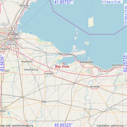
Bay View GPS coordinates[2]
41° 25' 57.18" North, 82° 57' 37.692" West
| Map corner | latitude | longitude |
|---|---|---|
| Upper-left | 41.95757°, | -83.6636° |
| Center: | 41.43255°, | -82.96047° |
| Lower-right: | 40.90325°, | -82.25735° |
| Map W x H: | 117.2×117.2 km | = 72.8×72.8mi |
| max Lat: | 71.29058° ⇑29.9% North |
| Bay View: | 41.43255° |
| min Lat: | ⇓70.1% South 19.06759° |
| min Long | Bay View | max Long |
| -171.73463° | -82.96047° | -66.98998° |
| W 62.1%⇐ | ⇒37.9% E |
Elevation
Elevation of Bay View is 177 m = 581 ft, and this is 117.8 m = 386 ft below average elevation for this country.
| Max E: |
3189 m = 10463 ft | 55.7% |
| Avg. | 294.8 m = 967 ft | |
| Bay View | 177 m = 581 ft | |
Min E: |
-60 m = -197 ft | 44.3% |
See also: United States elevation on elevation.city.
Geographical zone
Bay View is located in North temperate zone (between Tropic of Cancer and the Arctic Circle). Distance of this Northern Tropic circle is 2000.9 km =1243.3 mi to South.| Distance of | km | miles | from Bay View |
|---|---|---|---|
| North Pole | 5400.2 | 3355.5 | to North |
| Arctic Circle | 2794.3 | 1736.3 | to North |
| Tropic Cancer | 2000.9 | 1243.3 | to South |
| Equator | 4606.9 | 2862.6 | to South |


Nearby cities:
15 places around Bay View: (largest is in red/bold)
• Ballville
18.5 km =11.5 mi,  230°
230°
• Bay View
11.8 km =7.3 mi,  70°
70°
• Bellevue
20.3 km =12.6 mi,  150°
150°
• Castalia
13.2 km =8.2 mi,  105°
105°
• Clyde
14.3 km =8.9 mi,  184°
184°
• Elmore
28.4 km =17.6 mi,  279°
279°
• Fremont
16.3 km =10.1 mi,  235°
235°
• Green Springs
21 km =13 mi,  201°
201°
• Lakeside
21.5 km =13.4 mi,  55°
55°
• Marblehead
22.2 km =13.8 mi, 57°
• Mount Carmel
18.1 km =11.2 mi,  173°
173°
• Oak Harbor
17.6 km =10.9 mi,  298°
298°
• Port Clinton
9 km =5.6 mi,  12°
12°
• Sandusky
21.1 km =13.1 mi,  85°
85°
• Stony Prairie
18.6 km =11.6 mi, 240°
Sources, notices
• [Note1] Compared only with cities in United States existing in our database
• [Src1] Map data: © OpenStreetMap contributors (CC-BY-SA)
• [Src2] Other city data from geonames.org with taken over terms of usage.
• [Src3] Geographical zone / Annual Mean Temperature by Robert A. Rohde @ Wikipedia
