Coshocton geodata
Coshocton (Ohio) is a seat of a second-order administrative division; located in United States in America/New_York (GMT-4) time zone. With population of 11,121 people, there are 4149 cities with bigger population in this country. Compared to other cities in United States, 56.3% of cities are located further ↓South; 66.1% of cities are located further ←West and 58.8% of cities have lower elevation than Coshocton. Note1


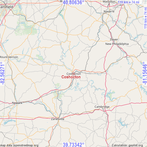
Coshocton GPS coordinates[2]
40° 16' 19.272" North, 81° 51' 34.488" West
| Map corner | latitude | longitude |
|---|---|---|
| Upper-left | 40.80636°, | -82.56271° |
| Center: | 40.27202°, | -81.85958° |
| Lower-right: | 39.73342°, | -81.15646° |
| Map W x H: | 119.3×119.3 km | = 74.1×74.1mi |
| max Lat: | 71.29058° ⇑43.7% North |
| Coshocton: | 40.27202° |
| min Lat: | ⇓56.3% South 19.06759° |
| min Long | Coshocton | max Long |
| -171.73463° | -81.85958° | -66.98998° |
| W 66.1%⇐ | ⇒33.9% E |
Elevation
Elevation of Coshocton is 234 m = 768 ft, and this is 60.8 m = 199 ft below average elevation for this country.
| Max E: |
3189 m = 10463 ft | 41.2% |
| Avg. | 294.8 m = 967 ft | |
| Coshocton | 234 m = 768 ft | |
Min E: |
-60 m = -197 ft | 58.8% |
See also: United States elevation on elevation.city.
Geographical zone
Coshocton is located in North temperate zone (between Tropic of Cancer and the Arctic Circle). Distance of this Northern Tropic circle is 1871.9 km =1163.1 mi to South.| Distance of | km | miles | from Coshocton |
|---|---|---|---|
| North Pole | 5529.2 | 3435.7 | to North |
| Arctic Circle | 2923.3 | 1816.5 | to North |
| Tropic Cancer | 1871.9 | 1163.1 | to South |
| Equator | 4477.8 | 2782.4 | to South |


Nearby cities:
15 places around Coshocton: (largest is in red/bold)
• Baltic
23.1 km =14.4 mi,  36°
36°
• Berlin
32.6 km =20.3 mi,  9°
9°
• Dresden
21.1 km =13.1 mi,  217°
217°
• Frazeysburg
28 km =17.4 mi,  232°
232°
• Killbuck
27 km =16.8 mi,  336°
336°
• Mantua
26.5 km =16.5 mi,  144°
144°
• Millersburg
31.8 km =19.8 mi,  351°
351°
• New Concord
32.7 km =20.3 mi,  160°
160°
• Newcomerstown
21.5 km =13.4 mi,  89°
89°
• Port Washington
29.4 km =18.3 mi,  77°
77°
• Sugarcreek
31.7 km =19.7 mi, 35°
• Sugarcreek Police Dept
31.6 km =19.6 mi, 35°
• Walnut Creek
32.1 km =19.9 mi,  21°
21°
• Warsaw
14.3 km =8.9 mi,  299°
299°
• West Lafayette
9.2 km =5.7 mi, 87°
Sources, notices
• [Note1] Compared only with cities in United States existing in our database
• [Src1] Map data: © OpenStreetMap contributors (CC-BY-SA)
• [Src2] Other city data from geonames.org with taken over terms of usage.
• [Src3] Geographical zone / Annual Mean Temperature by Robert A. Rohde @ Wikipedia
