Youngstown geodata
Youngstown (Ohio) is a seat of a second-order administrative division; located in United States in America/New_York (GMT-4) time zone. With population of 64,628 people, there are 670 cities with bigger population in this country. Compared to other cities in United States, 66.8% of cities are located further ↓South; 70.4% of cities are located further ←West and 66.1% of cities have lower elevation than Youngstown. Note1


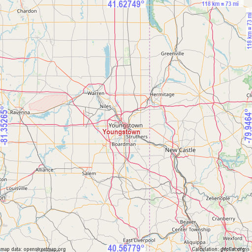
Youngstown GPS coordinates[2]
41° 5' 59.208" North, 80° 38' 58.272" West
| Map corner | latitude | longitude |
|---|---|---|
| Upper-left | 41.62749°, | -81.35265° |
| Center: | 41.09978°, | -80.64952° |
| Lower-right: | 40.56779°, | -79.9464° |
| Map W x H: | 117.8×117.8 km | = 73.2×73.2mi |
| max Lat: | 71.29058° ⇑33.2% North |
| Youngstown: | 41.09978° |
| min Lat: | ⇓66.8% South 19.06759° |
| min Long | Youngstown | max Long |
| -171.73463° | -80.64952° | -66.98998° |
| W 70.4%⇐ | ⇒29.6% E |
Elevation
Elevation of Youngstown is 267 m = 876 ft, and this is 27.8 m = 91 ft below average elevation for this country.
| Max E: |
3189 m = 10463 ft | 33.9% |
| Avg. | 294.8 m = 967 ft | |
| Youngstown | 267 m = 876 ft | |
Min E: |
-60 m = -197 ft | 66.1% |
See also: Youngstown elevation on elevation.city.
Geographical zone
Youngstown is located in North temperate zone (between Tropic of Cancer and the Arctic Circle). Distance of this Northern Tropic circle is 1963.9 km =1220.3 mi to South.| Distance of | km | miles | from Youngstown |
|---|---|---|---|
| North Pole | 5437.2 | 3378.5 | to North |
| Arctic Circle | 2831.3 | 1759.3 | to North |
| Tropic Cancer | 1963.9 | 1220.3 | to South |
| Equator | 4569.9 | 2839.6 | to South |


Nearby cities:
15 places around Youngstown: (largest is in red/bold)
• Austintown
9.6 km =6 mi,  271°
271°
• Boardman
8.5 km =5.3 mi,  187°
187°
• Campbell
4.8 km =3 mi,  119°
119°
• Canfield
12.5 km =7.8 mi,  228°
228°
• Churchill
7 km =4.3 mi,  349°
349°
• Girard
7.4 km =4.6 mi,  324°
324°
• Hilltop
10.2 km =6.3 mi,  314°
314°
• Hubbard
9.2 km =5.7 mi,  46°
46°
• Lowellville
11.9 km =7.4 mi,  127°
127°
• McDonald
9.5 km =5.9 mi, 318°
• McKinley Heights
10.9 km =6.8 mi,  328°
328°
• Mineral Ridge
11 km =6.8 mi,  294°
294°
• New Bedford
12.1 km =7.5 mi,  91°
91°
• Poland
8.9 km =5.5 mi,  160°
160°
• Struthers
6.3 km =3.9 mi,  146°
146°
Sources, notices
• [Note1] Compared only with cities in United States existing in our database
• [Src1] Map data: © OpenStreetMap contributors (CC-BY-SA)
• [Src2] Other city data from geonames.org with taken over terms of usage.
• [Src3] Geographical zone / Annual Mean Temperature by Robert A. Rohde @ Wikipedia
