Georgetown geodata
Georgetown (Pennsylvania) is a populated place; located in United States in America/New_York (GMT-4) time zone. With population of 1,640 people, there are 13125 cities with bigger population in this country. Compared to other cities in United States, 68% of cities are located further ↓South; 84.5% of cities are located further ←West and 53.5% of cities have lower elevation than Georgetown. Note1
Administrative division(s):
- Level 1: Pennsylvania
- Level 2: Luzerne County
- Level 3: Township of Wilkes-Barre


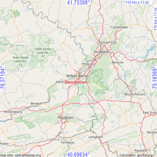
Georgetown GPS coordinates[2]
41° 13' 38.28" North, 75° 52' 7.716" West
| Map corner | latitude | longitude |
|---|---|---|
| Upper-left | 41.75398°, | -76.57194° |
| Center: | 41.2273°, | -75.86881° |
| Lower-right: | 40.69634°, | -75.16569° |
| Map W x H: | 117.6×117.6 km | = 73.1×73.1mi |
| max Lat: | 71.29058° ⇑32% North |
| Georgetown: | 41.2273° |
| min Lat: | ⇓68% South 19.06759° |
| min Long | Georgetown | max Long |
| -171.73463° | -75.86881° | -66.98998° |
| W 84.5%⇐ | ⇒15.5% E |
Elevation
Elevation of Georgetown is 212 m = 696 ft, and this is 82.8 m = 272 ft below average elevation for this country.
| Max E: |
3189 m = 10463 ft | 46.5% |
| Avg. | 294.8 m = 967 ft | |
| Georgetown | 212 m = 696 ft | |
Min E: |
-60 m = -197 ft | 53.5% |
See also: United States elevation on elevation.city.
Geographical zone
Georgetown is located in North temperate zone (between Tropic of Cancer and the Arctic Circle). Distance of this Northern Tropic circle is 1978.1 km =1229.1 mi to South.| Distance of | km | miles | from Georgetown |
|---|---|---|---|
| North Pole | 5423 | 3369.7 | to North |
| Arctic Circle | 2817.1 | 1750.5 | to North |
| Tropic Cancer | 1978.1 | 1229.1 | to South |
| Equator | 4584 | 2848.4 | to South |


Nearby cities:
15 places around Georgetown: (largest is in red/bold)
• Ashley
3 km =1.9 mi,  230°
230°
• Courtdale
6.9 km =4.3 mi,  328°
328°
• Edwardsville
6.1 km =3.8 mi,  319°
319°
• Forty Fort
5.8 km =3.6 mi,  352°
352°
• Hudson
6 km =3.7 mi,  27°
27°
• Kingston
4.5 km =2.8 mi, 328°
• Larksville
5.5 km =3.4 mi,  290°
290°
• Laurel Run
0.7 km =0.4 mi,  138°
138°
• Luzerne
7 km =4.3 mi,  337°
337°
• Mountain Top
6.5 km =4 mi,  186°
186°
• Plains
5.6 km =3.5 mi,  16°
16°
• Plymouth
6.5 km =4 mi,  282°
282°
• Pringle
6.1 km =3.8 mi, 337°
• Sugar Notch
6 km =3.7 mi,  235°
235°
• Wilkes-Barre
2.3 km =1.4 mi, 333°
Sources, notices
• [Note1] Compared only with cities in United States existing in our database
• [Src1] Map data: © OpenStreetMap contributors (CC-BY-SA)
• [Src2] Other city data from geonames.org with taken over terms of usage.
• [Src3] Geographical zone / Annual Mean Temperature by Robert A. Rohde @ Wikipedia
