Huntingdon geodata
Huntingdon (Pennsylvania) is a seat of a second-order administrative division; located in United States in America/New_York (GMT-4) time zone. With population of 7,029 people, there are 5797 cities with bigger population in this country. Compared to other cities in United States, 58.8% of cities are located further ↓South; 77.8% of cities are located further ←West and 50.8% of cities have higher elevation than Huntingdon. Note1
Administrative division(s):
- Level 1: Pennsylvania
- Level 2: Huntingdon County
- Level 3: Borough of Huntingdon


Huntingdon GPS coordinates[2]
40° 29' 5.28" North, 78° 0' 37.008" West
| Map corner | latitude | longitude |
|---|---|---|
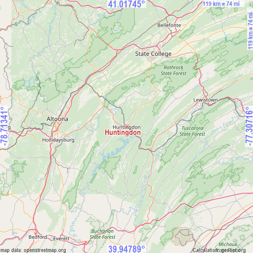
| Upper-left | 41.01745°, | -78.71341° |
| Center: | 40.4848°, | -78.01028° |
| Lower-right: | 39.94789°, | -77.30716° |
| Map W x H: | 118.9×118.9 km | = 73.9×73.9mi |
| max Lat: | 71.29058° ⇑41.2% North |
| Huntingdon: | 40.4848° |
| min Lat: | ⇓58.8% South 19.06759° |
| min Long | Huntingdon | max Long |
| -171.73463° | -78.01028° | -66.98998° |
| W 77.8%⇐ | ⇒22.2% E |
Elevation
Elevation of Huntingdon is 195 m = 640 ft, and this is 99.8 m = 327 ft below average elevation for this country.
| Max E: |
3189 m = 10463 ft | 50.8% |
| Avg. | 294.8 m = 967 ft | |
| Huntingdon | 195 m = 640 ft | |
Min E: |
-60 m = -197 ft | 49.2% |
See also: United States elevation on elevation.city.
Geographical zone
Huntingdon is located in North temperate zone (between Tropic of Cancer and the Arctic Circle). Distance of this Northern Tropic circle is 1895.6 km =1177.9 mi to South.| Distance of | km | miles | from Huntingdon |
|---|---|---|---|
| North Pole | 5505.6 | 3421 | to North |
| Arctic Circle | 2899.7 | 1801.8 | to North |
| Tropic Cancer | 1895.6 | 1177.9 | to South |
| Equator | 4501.5 | 2797.1 | to South |


Nearby cities:
15 places around Huntingdon: (largest is in red/bold)
• Allenport
17.1 km =10.6 mi,  136°
136°
• Allensville
17.3 km =10.7 mi,  70°
70°
• Belleville
27.5 km =17.1 mi,  60°
60°
• Bellwood
29.7 km =18.5 mi,  296°
296°
• Grazierville
28.5 km =17.7 mi,  311°
311°
• Greenwood
29.9 km =18.6 mi,  280°
280°
• Lakemont
32 km =19.9 mi,  267°
267°
• McConnellstown
7 km =4.3 mi,  239°
239°
• Mount Union
15.5 km =9.6 mi, 135°
• Pine Grove Mills
29.6 km =18.4 mi,  20°
20°
• Ramblewood
26.5 km =16.5 mi,  9°
9°
• Strodes Mills
29.4 km =18.3 mi,  75°
75°
• Tipton
29.4 km =18.3 mi, 304°
• Tyrone
28.3 km =17.6 mi,  316°
316°
• Williamsburg
16.2 km =10.1 mi,  261°
261°
Sources, notices
• [Note1] Compared only with cities in United States existing in our database
• [Src1] Map data: © OpenStreetMap contributors (CC-BY-SA)
• [Src2] Other city data from geonames.org with taken over terms of usage.
• [Src3] Geographical zone / Annual Mean Temperature by Robert A. Rohde @ Wikipedia
