Fontana geodata
Fontana (Wisconsin) is a populated place; located in United States in America/Chicago (GMT-5) time zone. With population of 1,720 people, there are 12848 cities with bigger population in this country. Compared to other cities in United States, 80.2% of cities are located further ↓South; 55% of cities are located further →East and 69.3% of cities have lower elevation than Fontana. Note1
Administrative division(s):
- Level 1: Wisconsin
- Level 2: Walworth County
- Level 3: Village of Fontana-on-Geneva Lake


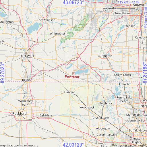
Fontana GPS coordinates[2]
42° 33' 5.076" North, 88° 34' 30.36" West
| Map corner | latitude | longitude |
|---|---|---|
| Upper-left | 43.06723°, | -89.27823° |
| Center: | 42.55141°, | -88.5751° |
| Lower-right: | 42.03129°, | -87.87198° |
| Map W x H: | 115.2×115.2 km | = 71.6×71.6mi |
| max Lat: | 71.29058° ⇑19.8% North |
| Fontana: | 42.55141° |
| min Lat: | ⇓80.2% South 19.06759° |
| min Long | Fontana | max Long |
| -171.73463° | -88.5751° | -66.98998° |
| W 45%⇐ | ⇒55% E |
Elevation
Elevation of Fontana is 282 m = 925 ft, and this is 12.8 m = 42 ft below average elevation for this country.
| Max E: |
3189 m = 10463 ft | 30.7% |
| Avg. | 294.8 m = 967 ft | |
| Fontana | 282 m = 925 ft | |
Min E: |
-60 m = -197 ft | 69.3% |
See also: United States elevation on elevation.city.
Geographical zone
Fontana is located in North temperate zone (between Tropic of Cancer and the Arctic Circle). Distance of this Northern Tropic circle is 2125.4 km =1320.7 mi to South.| Distance of | km | miles | from Fontana |
|---|---|---|---|
| North Pole | 5275.8 | 3278.2 | to North |
| Arctic Circle | 2669.9 | 1659 | to North |
| Tropic Cancer | 2125.4 | 1320.7 | to South |
| Equator | 4731.3 | 2939.9 | to South |


Nearby cities:
15 places around Fontana: (largest is in red/bold)
• Capron
21.6 km =13.4 mi,  218°
218°
• Como
10.2 km =6.3 mi,  48°
48°
• Darien
12.2 km =7.6 mi,  297°
297°
• Delavan
10.7 km =6.6 mi,  328°
328°
• Delavan Lake
6 km =3.7 mi,  307°
307°
• Elkhorn
13.7 km =8.5 mi,  10°
10°
• Genoa City
21.1 km =13.1 mi,  106°
106°
• Harvard
14.7 km =9.1 mi,  192°
192°
• Hebron
14.7 km =9.1 mi,  127°
127°
• Lake Geneva
12.4 km =7.7 mi,  68°
68°
• Pell Lake
18.4 km =11.4 mi,  94°
94°
• Powers Lake
23 km =14.3 mi, 89°
• Sharon
13.7 km =8.5 mi,  246°
246°
• Walworth
3 km =1.9 mi, 221°
• Williams Bay
4.1 km =2.5 mi,  43°
43°
Sources, notices
• [Note1] Compared only with cities in United States existing in our database
• [Src1] Map data: © OpenStreetMap contributors (CC-BY-SA)
• [Src2] Other city data from geonames.org with taken over terms of usage.
• [Src3] Geographical zone / Annual Mean Temperature by Robert A. Rohde @ Wikipedia
