Glenns Ferry geodata
Glenns Ferry (Idaho) is a populated place; located in United States in America/Boise (GMT-6) time zone. With population of 1,229 people, there are 14963 cities with bigger population in this country. Compared to other cities in United States, 82.9% of cities are located further ↓South; 89% of cities are located further →East and 91.8% of cities have lower elevation than Glenns Ferry. Note1


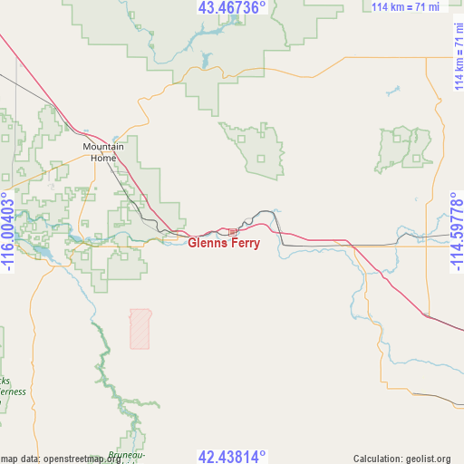
Glenns Ferry GPS coordinates[2]
42° 57' 17.64" North, 115° 18' 3.24" West
| Map corner | latitude | longitude |
|---|---|---|
| Upper-left | 43.46736°, | -116.00403° |
| Center: | 42.9549°, | -115.3009° |
| Lower-right: | 42.43814°, | -114.59778° |
| Map W x H: | 114.4×114.4 km | = 71.1×71.1mi |
| max Lat: | 71.29058° ⇑17.1% North |
| Glenns Ferry: | 42.9549° |
| min Lat: | ⇓82.9% South 19.06759° |
| min Long | Glenns Ferry | max Long |
| -171.73463° | -115.3009° | -66.98998° |
| W 11%⇐ | ⇒89% E |
Elevation
Elevation of Glenns Ferry is 784 m = 2572 ft, and this is 489.2 m = 1605 ft above average elevation for this country.
| Max E: |
3189 m = 10463 ft | 8.2% |
| Glenns Ferry | 784 m 2572 ft | |
| Avg. | 294.8 m = 967 ft | |
Min E: |
-60 m = -197 ft | 91.8% |
See also: United States elevation on elevation.city.
Geographical zone
Glenns Ferry is located in North temperate zone (between Tropic of Cancer and the Arctic Circle). Distance of this Northern Tropic circle is 2170.2 km =1348.5 mi to South.| Distance of | km | miles | from Glenns Ferry |
|---|---|---|---|
| North Pole | 5230.9 | 3250.3 | to North |
| Arctic Circle | 2625 | 1631.1 | to North |
| Tropic Cancer | 2170.2 | 1348.5 | to South |
| Equator | 4776.1 | 2967.7 | to South |


Nearby cities:
15 places around Glenns Ferry: (largest is in red/bold)
• Bellevue
101.5 km =63.1 mi,  56°
56°
• Buhl
59.3 km =36.8 mi,  131°
131°
• Fairfield
60 km =37.3 mi,  43°
43°
• Filer
70.9 km =44.1 mi, 127°
• Gooding
47.9 km =29.8 mi,  92°
92°
• Hagerman
36.4 km =22.6 mi,  115°
115°
• Hailey
101.6 km =63.1 mi,  51°
51°
• Hansen
94.3 km =58.6 mi, 120°
• Hazelton
103.1 km =64.1 mi,  112°
112°
• Jerome
68.7 km =42.7 mi, 111°
• Kimberly
89.6 km =55.7 mi, 121°
• Mountain Home
37.4 km =23.2 mi,  301°
301°
• Shoshone
72.9 km =45.3 mi, 91°
• Twin Falls
81.3 km =50.5 mi, 122°
• Wendell
52.5 km =32.6 mi, 112°
Sources, notices
• [Note1] Compared only with cities in United States existing in our database
• [Src1] Map data: © OpenStreetMap contributors (CC-BY-SA)
• [Src2] Other city data from geonames.org with taken over terms of usage.
• [Src3] Geographical zone / Annual Mean Temperature by Robert A. Rohde @ Wikipedia
