Paul geodata
Paul (Idaho) is a populated place; located in United States in America/Boise (GMT-6) time zone. With population of 1,192 people, there are 15165 cities with bigger population in this country. Compared to other cities in United States, 80.6% of cities are located further ↓South; 88.4% of cities are located further →East and 95% of cities have lower elevation than Paul. Note1


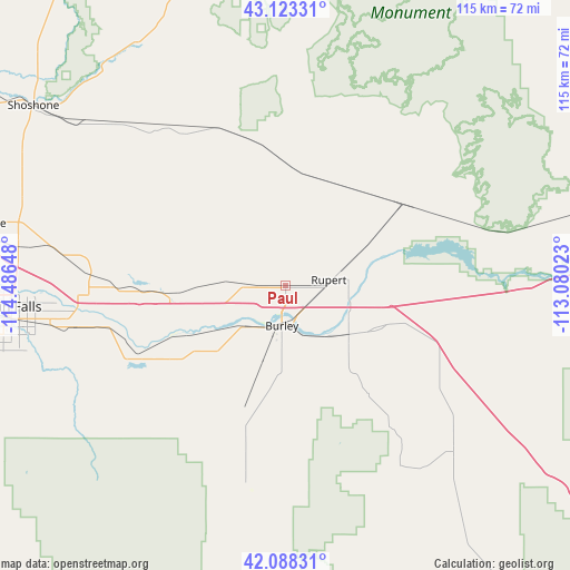
Paul GPS coordinates[2]
42° 36' 28.656" North, 113° 47' 0.06" West
| Map corner | latitude | longitude |
|---|---|---|
| Upper-left | 43.12331°, | -114.48648° |
| Center: | 42.60796°, | -113.78335° |
| Lower-right: | 42.08831°, | -113.08023° |
| Map W x H: | 115.1×115.1 km | = 71.5×71.5mi |
| max Lat: | 71.29058° ⇑19.4% North |
| Paul: | 42.60796° |
| min Lat: | ⇓80.6% South 19.06759° |
| min Long | Paul | max Long |
| -171.73463° | -113.78335° | -66.98998° |
| W 11.6%⇐ | ⇒88.4% E |
Elevation
Elevation of Paul is 1265 m = 4150 ft, and this is 970.2 m = 3183 ft above average elevation for this country.
| Max E: |
3189 m = 10463 ft | 5% |
| Paul | 1265 m 4150 ft | |
| Avg. | 294.8 m = 967 ft | |
Min E: |
-60 m = -197 ft | 95% |
See also: United States elevation on elevation.city.
Geographical zone
Paul is located in North temperate zone (between Tropic of Cancer and the Arctic Circle). Distance of this Northern Tropic circle is 2131.6 km =1324.5 mi to South.| Distance of | km | miles | from Paul |
|---|---|---|---|
| North Pole | 5269.5 | 3274.3 | to North |
| Arctic Circle | 2663.6 | 1655.1 | to North |
| Tropic Cancer | 2131.6 | 1324.5 | to South |
| Equator | 4737.6 | 2943.8 | to South |


Nearby cities:
15 places around Paul: (largest is in red/bold)
• American Falls
78.4 km =48.7 mi,  75°
75°
• Buhl
79.9 km =49.6 mi,  269°
269°
• Burley
8.1 km =5 mi,  185°
185°
• Carey
78.9 km =49 mi,  350°
350°
• Filer
67.6 km =42 mi, 266°
• Hansen
43.3 km =26.9 mi,  258°
258°
• Hazelton
28.9 km =18 mi, 267°
• Heyburn
5.7 km =3.5 mi,  163°
163°
• Jerome
61.5 km =38.2 mi,  282°
282°
• Kimberly
48.3 km =30 mi, 260°
• Oakley
41.4 km =25.7 mi, 191°
• Rupert
8.8 km =5.5 mi, 81°
• Shoshone
62.5 km =38.8 mi,  305°
305°
• Twin Falls
55.7 km =34.6 mi, 264°
• Wendell
77.5 km =48.2 mi, 283°
Sources, notices
• [Note1] Compared only with cities in United States existing in our database
• [Src1] Map data: © OpenStreetMap contributors (CC-BY-SA)
• [Src2] Other city data from geonames.org with taken over terms of usage.
• [Src3] Geographical zone / Annual Mean Temperature by Robert A. Rohde @ Wikipedia
