Hooper geodata
Hooper (Utah) is a populated place; located in United States in America/Denver (GMT-6) time zone. With population of 8,214 people, there are 5187 cities with bigger population in this country. Compared to other cities in United States, 67.5% of cities are located further ↓South; 87.7% of cities are located further →East and 95.2% of cities have lower elevation than Hooper. Note1


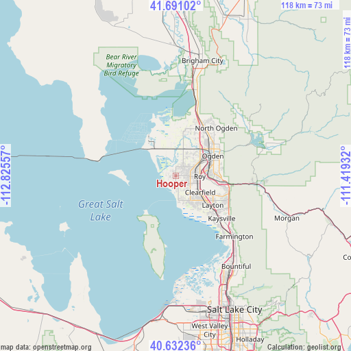
Hooper GPS coordinates[2]
41° 9' 49.788" North, 112° 7' 20.784" West
| Map corner | latitude | longitude |
|---|---|---|
| Upper-left | 41.69102°, | -112.82557° |
| Center: | 41.16383°, | -112.12244° |
| Lower-right: | 40.63236°, | -111.41932° |
| Map W x H: | 117.7×117.7 km | = 73.1×73.1mi |
| max Lat: | 71.29058° ⇑32.5% North |
| Hooper: | 41.16383° |
| min Lat: | ⇓67.5% South 19.06759° |
| min Long | Hooper | max Long |
| -171.73463° | -112.12244° | -66.98998° |
| W 12.3%⇐ | ⇒87.7% E |
Elevation
Elevation of Hooper is 1295 m = 4249 ft, and this is 1000.2 m = 3281 ft above average elevation for this country.
| Max E: |
3189 m = 10463 ft | 4.8% |
| Hooper | 1295 m 4249 ft | |
| Avg. | 294.8 m = 967 ft | |
Min E: |
-60 m = -197 ft | 95.2% |
See also: United States elevation on elevation.city.
Geographical zone
Hooper is located in North temperate zone (between Tropic of Cancer and the Arctic Circle). Distance of this Northern Tropic circle is 1971.1 km =1224.8 mi to South.| Distance of | km | miles | from Hooper |
|---|---|---|---|
| North Pole | 5430.1 | 3374.1 | to North |
| Arctic Circle | 2824.2 | 1754.9 | to North |
| Tropic Cancer | 1971.1 | 1224.8 | to South |
| Equator | 4577 | 2844 | to South |


Nearby cities:
15 places around Hooper: (largest is in red/bold)
• Clearfield
10 km =6.2 mi,  126°
126°
• Clinton
6.6 km =4.1 mi,  114°
114°
• Hill Air Force Base
13.5 km =8.4 mi,  115°
115°
• Marriott-Slaterville
12.7 km =7.9 mi,  39°
39°
• Ogden
14.1 km =8.8 mi,  62°
62°
• Plain City
15.2 km =9.4 mi,  11°
11°
• Riverdale
10 km =6.2 mi,  81°
81°
• Roy
8 km =5 mi,  91°
91°
• South Ogden
13 km =8.1 mi, 76°
• South Weber
16.5 km =10.3 mi,  102°
102°
• Sunset
8.2 km =5.1 mi, 111°
• Syracuse
9.6 km =6 mi,  149°
149°
• Washington Terrace
12.2 km =7.6 mi, 85°
• West Haven
7.4 km =4.6 mi,  53°
53°
• West Point
6 km =3.7 mi, 147°
Sources, notices
• [Note1] Compared only with cities in United States existing in our database
• [Src1] Map data: © OpenStreetMap contributors (CC-BY-SA)
• [Src2] Other city data from geonames.org with taken over terms of usage.
• [Src3] Geographical zone / Annual Mean Temperature by Robert A. Rohde @ Wikipedia
