South Willard geodata
South Willard (Utah) is a populated place; located in United States in America/Denver (GMT-6) time zone. With population of 1,571 people, there are 13395 cities with bigger population in this country. Compared to other cities in United States, 69.4% of cities are located further ↓South; 87.6% of cities are located further →East and 95.4% of cities have lower elevation than South Willard. Note1


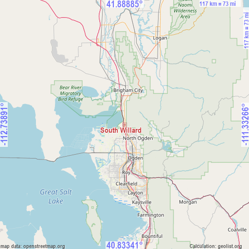
South Willard GPS coordinates[2]
41° 21' 47.772" North, 112° 2' 8.808" West
| Map corner | latitude | longitude |
|---|---|---|
| Upper-left | 41.88885°, | -112.73891° |
| Center: | 41.36327°, | -112.03578° |
| Lower-right: | 40.83341°, | -111.33266° |
| Map W x H: | 117.4×117.4 km | = 72.9×72.9mi |
| max Lat: | 71.29058° ⇑30.6% North |
| South Willard: | 41.36327° |
| min Lat: | ⇓69.4% South 19.06759° |
| min Long | South Willard | max Long |
| -171.73463° | -112.03578° | -66.98998° |
| W 12.4%⇐ | ⇒87.6% E |
Elevation
Elevation of South Willard is 1320 m = 4331 ft, and this is 1025.2 m = 3364 ft above average elevation for this country.
| Max E: |
3189 m = 10463 ft | 4.6% |
| South Willard | 1320 m 4331 ft | |
| Avg. | 294.8 m = 967 ft | |
Min E: |
-60 m = -197 ft | 95.4% |
See also: United States elevation on elevation.city.
Geographical zone
South Willard is located in North temperate zone (between Tropic of Cancer and the Arctic Circle). Distance of this Northern Tropic circle is 1993.2 km =1238.5 mi to South.| Distance of | km | miles | from South Willard |
|---|---|---|---|
| North Pole | 5407.9 | 3360.3 | to North |
| Arctic Circle | 2802 | 1741.1 | to North |
| Tropic Cancer | 1993.2 | 1238.5 | to South |
| Equator | 4599.2 | 2857.8 | to South |


Nearby cities:
15 places around South Willard: (largest is in red/bold)
• Brigham City
16.4 km =10.2 mi,  5°
5°
• Farr West
7.4 km =4.6 mi,  174°
174°
• Harrisville
9.9 km =6.2 mi,  156°
156°
• Liberty
14.8 km =9.2 mi,  102°
102°
• Mantua
16.6 km =10.3 mi,  27°
27°
• Marriott-Slaterville
12.4 km =7.7 mi,  176°
176°
• North Ogden
8.9 km =5.5 mi,  134°
134°
• Ogden
16.4 km =10.2 mi, 161°
• Perry
11.3 km =7 mi,  1°
1°
• Plain City
8.4 km =5.2 mi,  210°
210°
• Pleasant View
6.2 km =3.9 mi,  143°
143°
• South Ogden
19.8 km =12.3 mi, 164°
• West Haven
17.9 km =11.1 mi, 184°
• Willard
5.1 km =3.2 mi,  359°
359°
• Wolf Creek
17.7 km =11 mi, 100°
Sources, notices
• [Note1] Compared only with cities in United States existing in our database
• [Src1] Map data: © OpenStreetMap contributors (CC-BY-SA)
• [Src2] Other city data from geonames.org with taken over terms of usage.
• [Src3] Geographical zone / Annual Mean Temperature by Robert A. Rohde @ Wikipedia
