Goldendale geodata
Goldendale (Washington) is a seat of a second-order administrative division; located in United States in America/Los_Angeles (GMT-7) time zone. With population of 3,435 people, there are 8935 cities with bigger population in this country. Compared to other cities in United States, 94.8% of cities are located further ↓South; 93.6% of cities are located further →East and 87.8% of cities have lower elevation than Goldendale. Note1


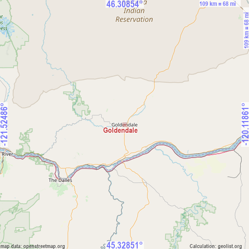
Goldendale GPS coordinates[2]
45° 49' 14.448" North, 120° 49' 18.228" West
| Map corner | latitude | longitude |
|---|---|---|
| Upper-left | 46.30854°, | -121.52486° |
| Center: | 45.82068°, | -120.82173° |
| Lower-right: | 45.32851°, | -120.11861° |
| Map W x H: | 109×109 km | = 67.7×67.7mi |
| max Lat: | 71.29058° ⇑5.2% North |
| Goldendale: | 45.82068° |
| min Lat: | ⇓94.8% South 19.06759° |
| min Long | Goldendale | max Long |
| -171.73463° | -120.82173° | -66.98998° |
| W 6.4%⇐ | ⇒93.6% E |
Elevation
Elevation of Goldendale is 497 m = 1631 ft, and this is 202.2 m = 663 ft above average elevation for this country.
| Max E: |
3189 m = 10463 ft | 12.2% |
| Goldendale | 497 m 1631 ft | |
| Avg. | 294.8 m = 967 ft | |
Min E: |
-60 m = -197 ft | 87.8% |
See also: United States elevation on elevation.city.
Geographical zone
Goldendale is located in North temperate zone (between Tropic of Cancer and the Arctic Circle). Distance of this North polar circle is 2306.4 km =1433.1 mi to North.| Distance of | km | miles | from Goldendale |
|---|---|---|---|
| North Pole | 4912.3 | 3052.4 | to North |
| Arctic Circle | 2306.4 | 1433.1 | to North |
| Tropic Cancer | 2488.9 | 1546.5 | to South |
| Equator | 5094.8 | 3165.8 | to South |


Nearby cities:
15 places around Goldendale: (largest is in red/bold)
• Arlington
49.5 km =30.8 mi,  103°
103°
• Bingen
51.2 km =31.8 mi,  256°
256°
• Chenoweth
39.1 km =24.3 mi,  236°
236°
• Dallesport
35.8 km =22.2 mi,  230°
230°
• Dufur
47.4 km =29.5 mi,  210°
210°
• Harrah
68.3 km =42.4 mi,  18°
18°
• Hood River
55.8 km =34.7 mi, 256°
• Moro
38.1 km =23.7 mi,  169°
169°
• Odell
60 km =37.3 mi,  248°
248°
• Satus
72 km =44.7 mi,  46°
46°
• The Dalles
37.4 km =23.2 mi, 227°
• Toppenish
73.5 km =45.7 mi,  32°
32°
• Trout Lake
58.1 km =36.1 mi,  289°
289°
• White Salmon
52.6 km =32.7 mi, 258°
• White Swan
62.9 km =39.1 mi,  6°
6°
Sources, notices
• [Note1] Compared only with cities in United States existing in our database
• [Src1] Map data: © OpenStreetMap contributors (CC-BY-SA)
• [Src2] Other city data from geonames.org with taken over terms of usage.
• [Src3] Geographical zone / Annual Mean Temperature by Robert A. Rohde @ Wikipedia
