Roy geodata
Roy (Washington) is a populated place; located in United States in America/Los_Angeles (GMT-7) time zone. With population of 806 people, there are 17758 cities with bigger population in this country. Compared to other cities in United States, 96.7% of cities are located further ↓South; 96.7% of cities are located further →East and 70.1% of cities have higher elevation than Roy. Note1


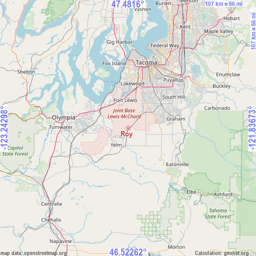
Roy GPS coordinates[2]
47° 0' 15.336" North, 122° 32' 23.46" West
| Map corner | latitude | longitude |
|---|---|---|
| Upper-left | 47.4816°, | -123.24298° |
| Center: | 47.00426°, | -122.53985° |
| Lower-right: | 46.52262°, | -121.83673° |
| Map W x H: | 106.6×106.6 km | = 66.2×66.2mi |
| max Lat: | 71.29058° ⇑3.3% North |
| Roy: | 47.00426° |
| min Lat: | ⇓96.7% South 19.06759° |
| min Long | Roy | max Long |
| -171.73463° | -122.53985° | -66.98998° |
| W 3.3%⇐ | ⇒96.7% E |
Elevation
Elevation of Roy is 100 m = 328 ft, and this is 194.8 m = 639 ft below average elevation for this country.
| Max E: |
3189 m = 10463 ft | 70.1% |
| Avg. | 294.8 m = 967 ft | |
| Roy | 100 m = 328 ft | |
Min E: |
-60 m = -197 ft | 29.9% |
See also: United States elevation on elevation.city.
Geographical zone
Roy is located in North temperate zone (between Tropic of Cancer and the Arctic Circle). Distance of this North polar circle is 2174.8 km =1351.4 mi to North.| Distance of | km | miles | from Roy |
|---|---|---|---|
| North Pole | 4780.7 | 2970.6 | to North |
| Arctic Circle | 2174.8 | 1351.4 | to North |
| Tropic Cancer | 2620.5 | 1628.3 | to South |
| Equator | 5226.4 | 3247.5 | to South |


Nearby cities:
15 places around Roy: (largest is in red/bold)
• DuPont
12.4 km =7.7 mi,  326°
326°
• Elk Plain
12.1 km =7.5 mi,  63°
63°
• Frederickson
17.1 km =10.6 mi,  53°
53°
• Joint Base Lewis McChord
11.9 km =7.4 mi,  346°
346°
• Lakeview
17.5 km =10.9 mi,  10°
10°
• Lakewood
18.7 km =11.6 mi,  4°
4°
• McChord Air Force Base
14.9 km =9.3 mi, 14°
• McKenna
7.8 km =4.8 mi,  189°
189°
• Nisqually Indian Community
11.5 km =7.1 mi,  282°
282°
• North Fort Lewis
13.7 km =8.5 mi,  342°
342°
• North Yelm
6.6 km =4.1 mi,  226°
226°
• Parkland
18.6 km =11.6 mi,  25°
25°
• Rainier
17.1 km =10.6 mi,  221°
221°
• Spanaway
13.7 km =8.5 mi,  35°
35°
• Yelm
8.5 km =5.3 mi, 215°
Sources, notices
• [Note1] Compared only with cities in United States existing in our database
• [Src1] Map data: © OpenStreetMap contributors (CC-BY-SA)
• [Src2] Other city data from geonames.org with taken over terms of usage.
• [Src3] Geographical zone / Annual Mean Temperature by Robert A. Rohde @ Wikipedia
