Purple Sage geodata
Purple Sage (Wyoming) is a populated place; located in United States in America/Denver (GMT-6) time zone. With population of 535 people, there are 20452 cities with bigger population in this country. Compared to other cities in United States, 71.4% of cities are located further ↓South; 85.5% of cities are located further →East and 98.8% of cities have lower elevation than Purple Sage. Note1


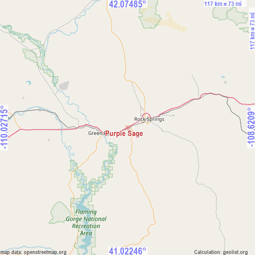
Purple Sage GPS coordinates[2]
41° 33' 2.88" North, 109° 19' 26.472" West
| Map corner | latitude | longitude |
|---|---|---|
| Upper-left | 42.07485°, | -110.02715° |
| Center: | 41.5508°, | -109.32402° |
| Lower-right: | 41.02246°, | -108.6209° |
| Map W x H: | 117×117 km | = 72.7×72.7mi |
| max Lat: | 71.29058° ⇑28.6% North |
| Purple Sage: | 41.5508° |
| min Lat: | ⇓71.4% South 19.06759° |
| min Long | Purple Sage | max Long |
| -171.73463° | -109.32402° | -66.98998° |
| W 14.5%⇐ | ⇒85.5% E |
Elevation
Elevation of Purple Sage is 1900 m = 6234 ft, and this is 1605.2 m = 5266 ft above average elevation for this country.
| Max E: |
3189 m = 10463 ft | 1.2% |
| Purple Sage | 1900 m 6234 ft | |
| Avg. | 294.8 m = 967 ft | |
Min E: |
-60 m = -197 ft | 98.8% |
See also: United States elevation on elevation.city.
Geographical zone
Purple Sage is located in North temperate zone (between Tropic of Cancer and the Arctic Circle). Distance of this Northern Tropic circle is 2014.1 km =1251.5 mi to South.| Distance of | km | miles | from Purple Sage |
|---|---|---|---|
| North Pole | 5387 | 3347.3 | to North |
| Arctic Circle | 2781.2 | 1728.2 | to North |
| Tropic Cancer | 2014.1 | 1251.5 | to South |
| Equator | 4620 | 2870.7 | to South |


Nearby cities:
15 places around Purple Sage: (largest is in red/bold)
• Clearview Acres
5.1 km =3.2 mi,  49°
49°
• Diamondville
104 km =64.6 mi,  284°
284°
• Green River
12.1 km =7.5 mi,  258°
258°
• James Town
16 km =9.9 mi,  271°
271°
• Kemmerer
104.3 km =64.8 mi, 284°
• La Barge
107 km =66.5 mi,  317°
317°
• Lyman
84.5 km =52.5 mi,  252°
252°
• Maeser
121.4 km =75.4 mi,  190°
190°
• Manila
70.9 km =44.1 mi,  208°
208°
• Mountain View
90.3 km =56.1 mi, 249°
• Naples
125.8 km =78.2 mi, 186°
• North Rock Springs
11.4 km =7.1 mi,  25°
25°
• Reliance
16.9 km =10.5 mi,  38°
38°
• Rock Springs
10.9 km =6.8 mi,  67°
67°
• Vernal
123 km =76.4 mi, 188°
Sources, notices
• [Note1] Compared only with cities in United States existing in our database
• [Src1] Map data: © OpenStreetMap contributors (CC-BY-SA)
• [Src2] Other city data from geonames.org with taken over terms of usage.
• [Src3] Geographical zone / Annual Mean Temperature by Robert A. Rohde @ Wikipedia
